Gypsy Road to The Cheviot Show path on map
Start location: Burnhead, south of Kirk Yetholm ( NT 844 257 )
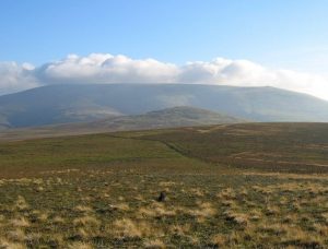
End location: The Cheviot ( NT 909 206 )
Geographical area: Lothian and Borders
Path type: Rural Path, Smugglers' Path
Path distance: 11.5km
Accessibility info: Suitable for pedestrians
Route Description
If starting in Kirk Yetholm, head east-southeast along the Pennine Way as far as the Halter Burn, where the “Low Level Pennine Way” heads south to Burnhead
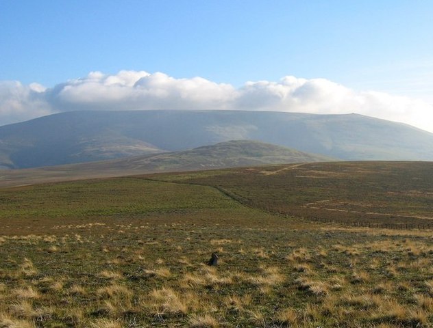
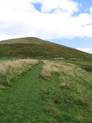
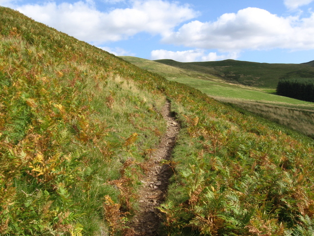
From Burnhead, go southeast up the slope of Latchley Hill to the col between The Curr and Black Hag, re-joining the Pennine Way. From there, it’s southeast to the Border, then follow the Border ridge south over The Schil (601m) and round the head of the College Burn to Auchope Cairn. A track acts as a Pennine Way spur to reach The Cheviot (815m).
Heritage Information
There are many stories of Gypsy-Traveller paths in the Kirk Yetholm area and this walk, mentioned in Ian Mitchell's book "Walking Through Scotland's History", leads from just south of Kirk Yetholm to the Cheviot. The Cheviot was a favoured place for Gypsies as it was close to the border and provided plenty of cover for a successful escape. This walk, while following the Pennine Way, approximates a path which would have been used by the Gypsy-Travellers making their way to The Cheviot and back again.