by David Oxley | 11 September 2025
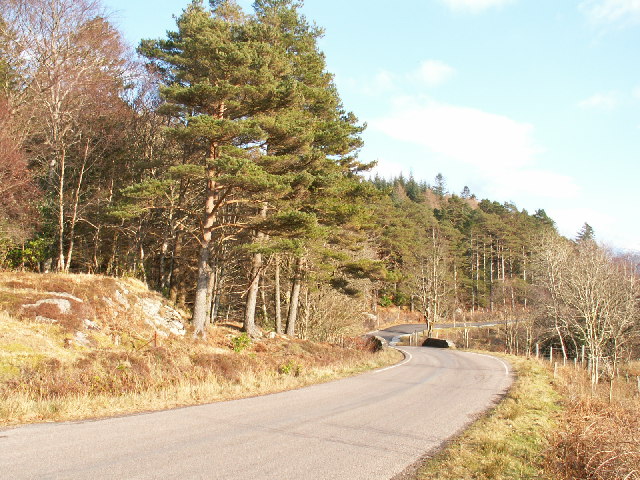
High Mingarry (Mingarry on the OS maps) is reached by a north/south track from the parliamentary road (A861) starting from the bridge at Mingarry (Mingarrypark). The track crosses the main Mingarry burn within the forestry plantation and one of the main...
by Eleisha Fahy | 11 September 2025
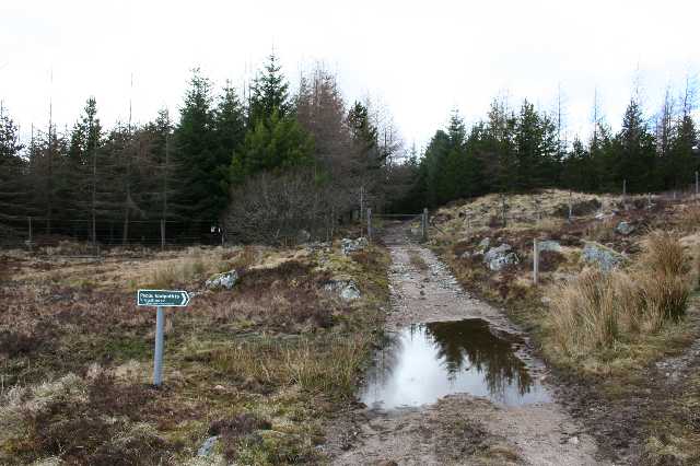
South of Rannoch station, cross the railway at the level crossing, go west round the head of Loch Laidon. After 1km, at NN414577, fork right into the forest and follow the road going southwest parallel to the loch for almost 4km to its end at NN378550. From here a...
by Eleisha Fahy | 11 September 2025
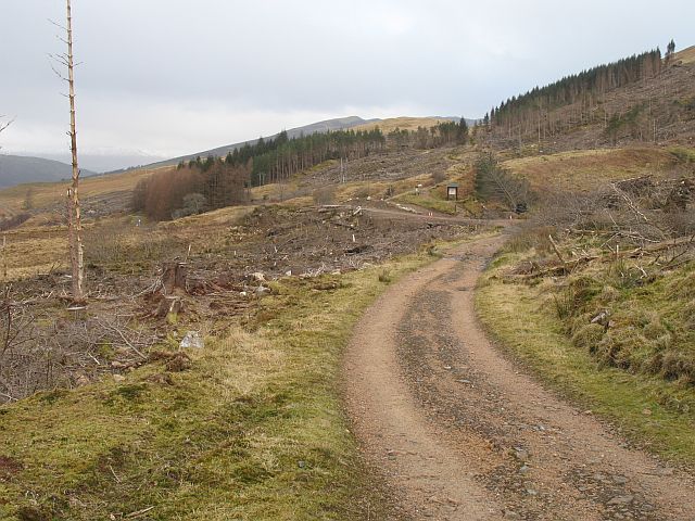
The first 11.5km of this old military road is used by the West Highland Way (WHW), so is waymarked accordingly. Leave Kinlochleven along the B863, until circa 250m west of the bridge (NN183623) over the Allt Coire na Bà. Take the WHW waymarked path to climb northwest...
by David Oxley | 11 September 2025
A wood lies on the north side of the A82 between Callert House and Callert Cottage. Here the right of way starts at a wicket gate and signpost at NN095603, and goes through the trees near the edge of the wood, crossing the line of an old wall at...

by David Oxley | 11 September 2025
This route is not easy to follow as there is no track on the open hillside. According to Old Tracks: Cross-Country Routes and Coffin Roads in the North-West Highlands by A E Robertson (1941): “there is an interesting old cut across from Glen Garry to Glen...