
by Eleisha Fahy | 11 September 2025
Our route description is the opposite way to that which the coffin bearers would have travelled. Starting at the north end, the first part of the track is over the old line of the public road. It then heads to the summit over a track and then a grassy path. The...
by David Oxley | 11 September 2025
The way across the Morsgail Forest is difficult, owing to it lying over peatbog. However white painted standing stones about 100 yards apart indicate the route off the OS mapped path, and lead you to within clear sight of Loch Resort. OS Landranger 13 (West Lewis...

by Eleisha Fahy | 11 September 2025
The first edition OS 6″ map (1853), shows an intermittent path across the Lewis Moor from Tolsta to Skigersta, which is what we have roughly mapped here. A modern Heritage Trail now also runs from Tolastadh to Sgiogarstaigh: linking various historic sites, it...

by David Oxley | 11 September 2025
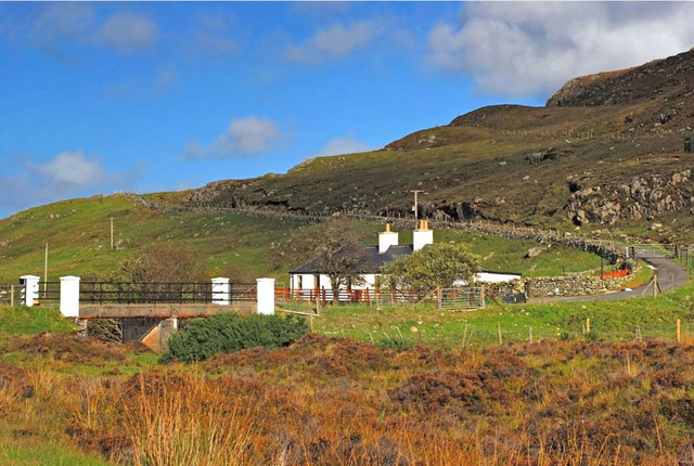
The school path begins in front of the hotel and goes over the hill to Tolsta Chaolais. OS Landranger 8 (Stornoway & North Lewis) or 13 (West Lewis & North Harris)
by David Oxley | 11 September 2025
A path and steps take you up to the ridge of a hill above Orasaigh (Orinsay), then the route is marked by posts across the moor via Loch Shaghachain to Lodan Stiomrabhaigh. A longer route starts on the Leumrabhagh (Lemreway) to Orasaigh road, going by Loch...