by Eleisha Fahy | 11 September 2025
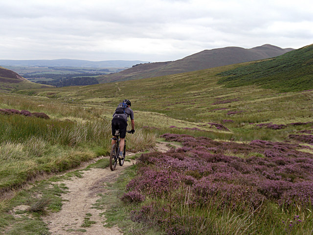
From Bonaly Tower go uphill on a tarmac road past the Scout Centre and through the car parking area at NT211674. Go through gate and continue steeply uphill through woods on a good gravel path (this is locally known as Puke Hill). Go through gate at NT210671 and on to...

by Eleisha Fahy | 11 September 2025
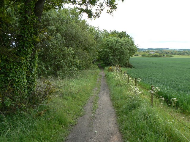
This route follows the old railway track parallel to the Biggar Water on its S side, which is slightly elevated because of the flooding risk. There are signs of use by farm vehicles at the W end, but the route is now mainly a grass path. There are several metal gates...
by Eleisha Fahy | 11 September 2025
From Ae Bridgend on the A701 Beattock to Dumfries road (bus route), a public road goes 4.5km northwest to Ae village. This route mostly follows forest and windfarm tracks, but not all of it is accessible for cyclists and equestrians, so variants are described below....

by Eleisha Fahy | 11 September 2025
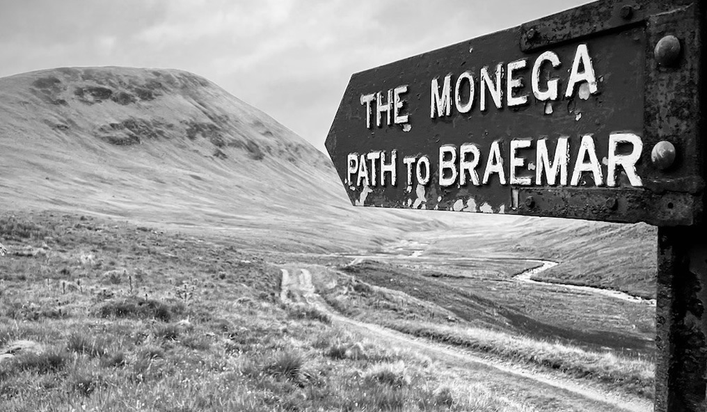
From the end of the public road, northwest of Tomcork, a rough track runs generally northeast to a signposted junction near Johnstripe. Here turn east, along this old right of way which continues past Loch na Braan. There is a boggy stretch of...
by David Oxley | 11 September 2025
This path starts as a road access between houses on Main Street, quickly becoming grassy path. Joins farm road between Muriespot and Lochtyside after 350 yards. 100 yards west of this junction an earth path heads south-southeast to meet line of railway, then follows...