by David Oxley | 11 September 2025
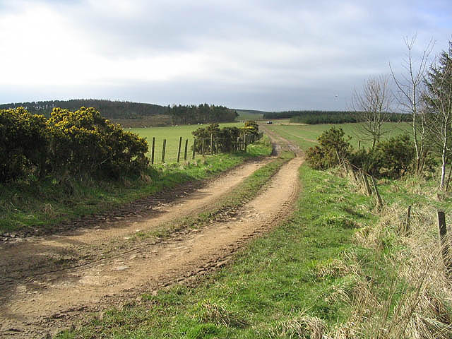
From the unclassified road follow field edge above Blackhouse Dean Plantation and, keeping wall on right, follow field edge to wood. Gates at both ends of wood, then follow field edge (passing trig. point on other side of wall) to low wooden fence at right...
by Eleisha Fahy | 11 September 2025
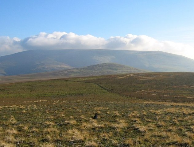
If starting in Kirk Yetholm, head east-southeast along the Pennine Way as far as the Halter Burn, where the “Low Level Pennine Way” heads south to Burnhead From Burnhead, go southeast up the slope of Latchley Hill to the col between The Curr and Black Hag,...

by Neil Birch | 11 September 2025
This old route has only been part-surveyed, so here we look at it in two sections: i) Drumcairn to Stonyford (NO505726). On the north side of the West Water, the path is less distinct and harder to find, than the northern section below. As we have no recent survey of...

by Neil Birch | 11 September 2025
Starting in Dalwhinnie*, follow the road beside Loch Ericht to Ben Alder Lodge. Turn off to the left at Loch Pattack to the Culra bothy (now closed). After the bothy, continue southwest through the Bealach Dubh before veering off from the track to cross the Uisge...

by Neil Birch | 11 September 2025
Head northwards from Brig o’ Turk along the hydro road, and up the east side of Glen Finglas Reservoir. At NN523103, turning northeast up Gleann nan Meann on a rough hill track to NN517146 where a rough grassy path continues north-northeast for 300m to the stile...
