Thief’s Road Show path on map
Start location: unclassified road about 5km. E. of Abbey St Bathans ( NT 815 613 )
End location: B6437 ( NT 854 615 )
Geographical area: Lothian and Borders
Path type: Smugglers' Path
Path distance: 4km
Accessibility info: Suitable for pedestrians
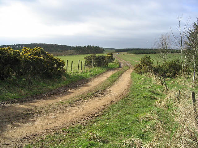
Route Description
From the unclassified road follow field edge above Blackhouse Dean Plantation and, keeping wall on right, follow field edge to wood. Gates at both ends of wood, then follow field edge (passing trig. point on other side of wall) to low wooden fence at right angles across the route. Over this the path continues through thick gorse (it is necessary to go into field to get through) to right turn and then further low wooden fence across route. Over this continue straight ahead down driveway, following to left later, then joining tarmacadam road. Turn right and follow to B6437.
OS Landranger sheet 67 (Duns, Dunbar & Eyemouth)
Heritage Information
This path appears on many old maps, including John Blackadders of 1797, Ainslie's map of 1821 and Thomson's map of 1820.
Interestingly none of these earlier maps seems to have called it Thief's Road but the current Ordnance Survey map does. Thief's Roads tend to be known as such because they were frequented by cattle thieves, or Rievers as they were known in the Borders. It would make sense as a track cattle thieves might have taken as it goes to the top of Horseley Hill and so must have taken quite a bit longer than current road to Auchencrow.