by Eleisha Fahy | 11 September 2025
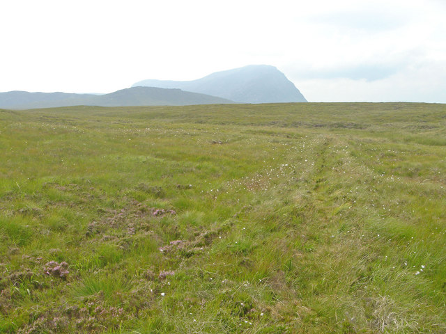
Apart from a short stretch towards its eastern end, the Moine Path is easy to follow. Its line is cut into the rocky slopes at either end, and on the higher plateau it is built up above the level of the bog, with ditches on both sides. The track was wide enough for...

by David Oxley | 11 September 2025
We don't yet have a survey of this route and would be very grateful to receive one. However, to get an idea of what it is like, we recommend the ATLAS Arts Coig Sgiathan / Five Wings project's interesting blog about an August 2017...

by David Oxley | 11 September 2025
We have no survey of this route as yet and would be very grateful to receive one. It seems to have a fairly obvious path to the ruins but is surrounded by cliffs so if walking it care should be taken. OS Landranger 23 (North Skye) or 24 (Raasay, Applecross &...
by Neil Birch | 11 September 2025
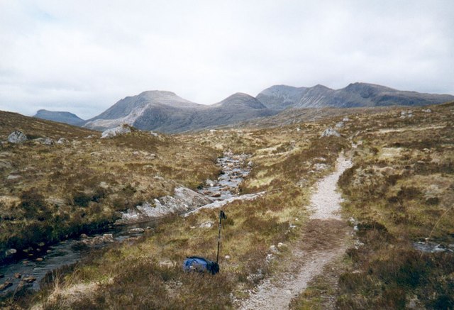
From the car park at Incheril, go up the private road to Heights of Kinlochewe. Take the left-hand track which goes north up Gleann na Muice, and beyond its end continue along a path up the glen to the southeast end of Lochan Fada. From there bear northeast towards...

by Eleisha Fahy | 11 September 2025
From the bridge by Kilbo bothy, take the path north onto Cairn Dye and along a barely discernible path on the Shank of Drumwhallo. The plateau is reached at about 850m. Formerly, a ScotWays signpost* at NO253737 indicated a turn of direction to east-northeast for...
