Old Cross-country Routes Show path on map
Start location: Incheril, Kinlochewe ( NH 034 619 )
End location: A832, Corrie Hallie ( NH 114 851 )
Geographical area: Ross and Cromarty
Path type: Rural Path
Path distance: 30km
Accessibility info: Suitable for pedestrians
Route Description
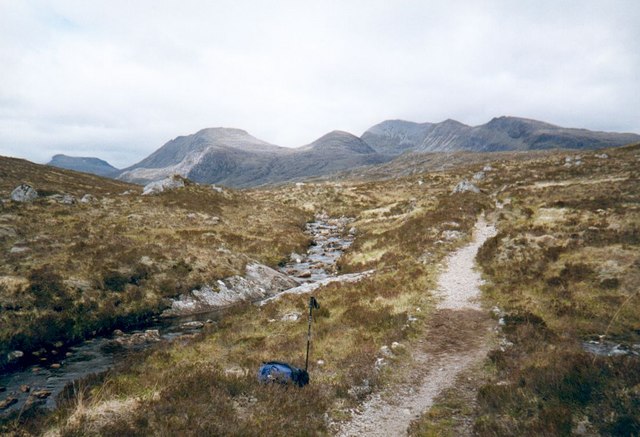
From the car park at Incheril, go up the private road to Heights of Kinlochewe. Take the left-hand track which goes north up Gleann na Muice, and beyond its end continue along a path up the glen to the southeast end of Lochan Fada. From there bear northeast towards Loch Meallan an Fhùdair and beyond there continue north on a level traverse to the Bealach na Croise.
There is a path of sorts on the northwest side of the stream flowing northeast from the bealach; lower down cross the stream to join the path on its east side. From here, there is a choice:
– either, go north along the east side of Loch an Nid and down the path beside the Abhainn Loch an Nid until it joins a track 1km southeast of Achneigie. Turn right and follow this track uphill and across high moorland to pass by Loch Coire Chaorachain. Beyond this the track drops down through birch woods to reach the A832 at Corrie Hallie, where there is parking, 4km from Dundonnell Hotel.
– alternatively, head eastwards towards the restored Lochivraon bothy, and beyond along the north shore of Loch a’ Bhraoin to meet another track at its far end which leads in 1km to instead meet the A832 at NH162760, 6km from the Braemore junction.
OS Landranger 19 (Gairloch & Ullapool); also 20 (Beinn Dearg & Loch Broom) if following the alternative.
Heritage Information
These old cross-country routes are part of a network, and were probably used for a variety of different purposes. Droving is reported at times, and these routes would certainly have been used by traders and other people travelling from community to community. Transhumance is likely reflected in the name of a nearby pass - Bealach na h-Imrich (pass of the flitting).
The Roy Military Survey of Scotland (1747-55) shows a road running from Kinlochewe up Glen Tanigg (Gleann Tanagaidh) - instead of Gleann na Muice - then over Bealach na Croise to Loch an Nid. Roy's route then follows the river all the way to Loch na Sealga and it ultimately reaches Gruinard, so this is quite possibly the route used by the droves of cattle from Lewis which were landed in Gruinard Bay. They were said to be walked up by the River Gruinard and on the the west side of Loch na Sealga to reach Kinlochewe.
The book A Tour In Scotland and Voyage to the Hebrides 1772 by Welsh naturalist and travel writer, Thomas Pennant, recounts his journey from Dundonnell to Kinlochewe. Pennant's "stunning hike" is well-described by English geographer and author Nicholas Crane in his 2007 book Great British Journeys.