by Eleisha Fahy | 11 September 2025
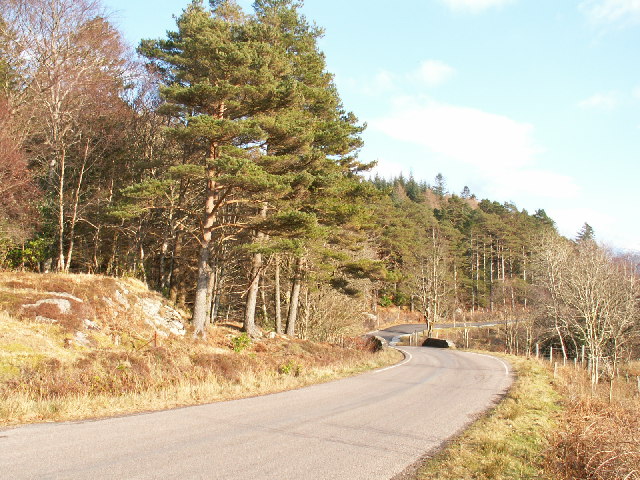
From Ae Bridgend on the A701 Beattock to Dumfries road (bus route), a public road goes 4.5km northwest to Ae village. This route mostly follows forest and windfarm tracks, but not all of it is accessible for cyclists and equestrians, so variants are described below....
by David Oxley | 11 September 2025
High Mingarry (Mingarry on the OS maps) is reached by a north/south track from the parliamentary road (A861) starting from the bridge at Mingarry (Mingarrypark). The track crosses the main Mingarry burn within the forestry plantation and one of the main...
by Eleisha Fahy | 11 September 2025
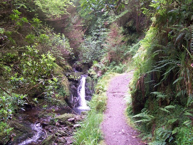
Puck’s Glen remains closed by Forestry and Land Scotland (FLS) following storm damage. This link includes a downloadable route card detailing other nearby routes avoiding the closed path. OS Landranger 56 (Loch Lomond & Inveraray area) Last reviewed July...

by David Oxley | 11 September 2025
The Serpentine Walk leading towards Upper Largo can be reached directly from the village street by crossing the former railtrack bed. It is largely a grassy track, crossing the Largo Burn by means of a wooden footbridge close to a bend in the burn. The path...

by David Oxley | 11 September 2025
Newsflash: a flash flood in August 2012 damaged the footbridge over Cock's Burn. Our most recent report (November 2014) indicates that it is now passable, but caution will be required by people choosing to cross the burn at this point. The...