Old Road from Lauder over Lammer Law Show path on map
Start location: Longyester ( NT 545 652 )
End location: Carfraemill Hotel, A697 ( NT 508 534 )
Geographical area: Lothian and Borders
Path type: Medieval Road, Trade Route
Path distance: 14km
Accessibility info: Suitable for bikes, Suitable for pedestrians
Route Description
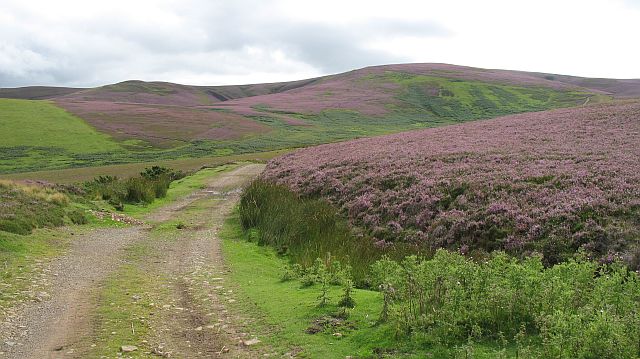
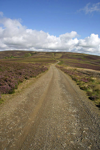
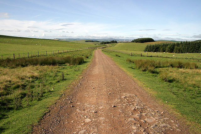
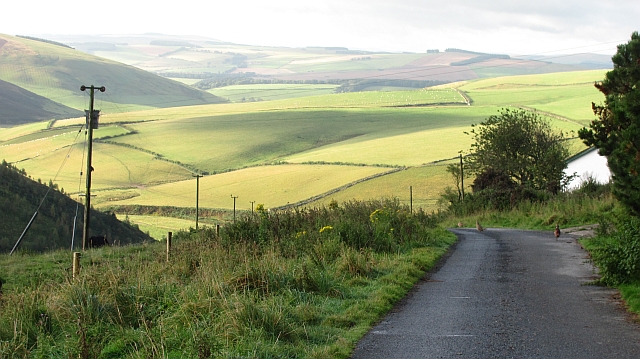
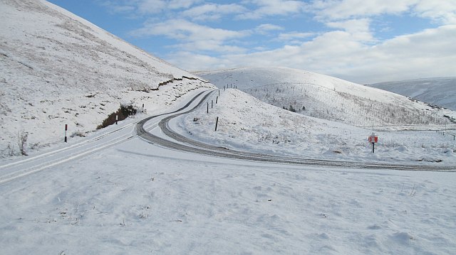
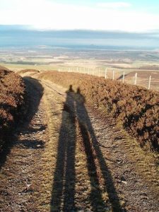
This very pleasant, cycleable route over the western Lammermuirs entirely follows rough tracks and minor roads. All gates can be easily opened.
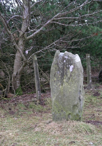
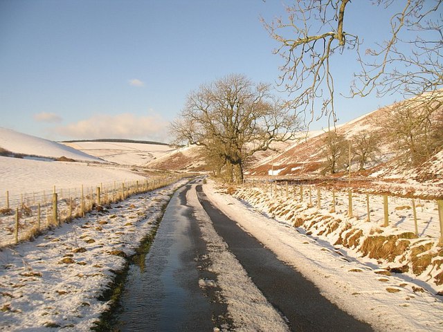
From Longyester, head southwest by Blinkbonny Wood, where the road becomes a rough track and continue up to the east shoulder of Lammer Law. The track proceeds over Crib Law (509m), dropping to pass grouse butts and a row of pylons, and rises to Tollishill with its small standing stone beside the track. Descend to the Kelphope Burn, taking the older hairpin track at NT515573 if you like, and follow the minor road to the Carfraemill Hotel situated beside the A697/A68 junction, 1.5km from Oxton.
ScotWays has produced a lovely Lammermuirs map leaflet showing this old route and other paths in the area. As part of a range of leaflets, ScotWays has this map available as a free download, or paper copies can be posted out via its webshop (P&P applies).
OS Landranger 66 (Edinburgh & Midlothian area)
Heritage Information
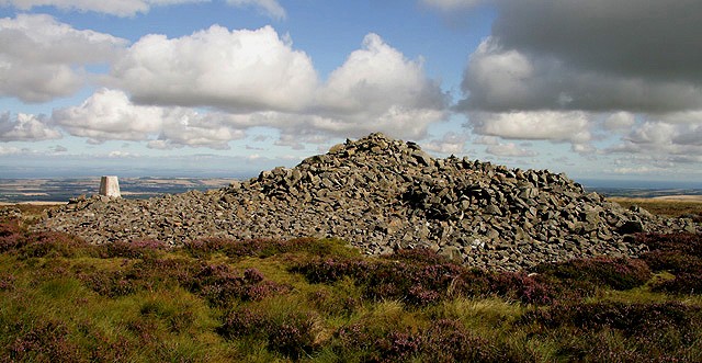
Over Lammer Law, this very old route forms both a parish boundary and the old county boundary. Medieval roads are quite often followed by parish boundaries just as this one is. Even nowadays for a short distance north of Crib Law, it still forms the local authority boundary between East Lothian and Scottish Borders.
The Old Statistical Account (1791-99) for Lauder refers to the encampment at Tollis-hill on the road between Lauder and Haddington. Although today the Lammer Law Road is generally thought of as running from Longyester to Carfraemill, an older variant line can also be traced. If heading south, just short of Tollishill the older line stays on higher ground via Tollishill Dod, Hog Hill and Addinston Hill before descending to the Leader Water at Wiselawmill. Both the Carfraemill and Addinston variants are marked as roads on Greenwood, Fowler and Sharp's 1826 map of The County of Berwick - and the former is clearly mapped on Aaron Arrowsmith's 1807 map too.
Unfortunately, Roy's map of the Lowlands (1752-55) is somewhat confusing as regards this old route. Although it clearly marks the section north of Lammer Law as Road from Lawder, south of there the route is marked as veering southeast to join the Muir Road from Lauder to Dunbar. Interestingly though, as the Road from Lawder descends towards Long Yester, it is marked as passing through a set of very distinctive enclosures, seemingly tree-lined. A similar pattern of beeches can still be seen today.
Merchants and cadgers alike will have used this old trade route linking Haddington and Lauder. Wool was carried north from Lauderdale and grain was brought south from East Lothian. It was also used as a local drove road. Nowadays it is a well-used track through a moorland grouse estate.