Old Harris Drove Road Show path on map
Start location: A859, north of Caisteal Ard ( NB 186 096 )
End location: A859, access track to mast ( NB 194 069 )
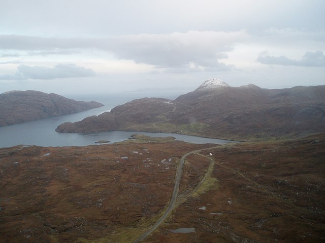
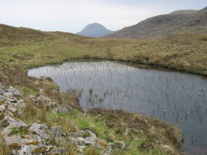
Geographical area: Western Isles
Path type: Drove Road
Path distance: 3.3km
Accessibility info: Suitable for pedestrians
Route Description
This route follows the Hebridean Way, and it travels generally south, keeping west of Caisteal Ard and rejoins the A859 past the mast. From here, you can journey onwards on the Hebridean Way by taking the old road to Tarbert down Gleann Lacasdail.
OS Landranger 13 (West Lewis & North Harris) or 14 (Tarbert & Loch Seaforth)
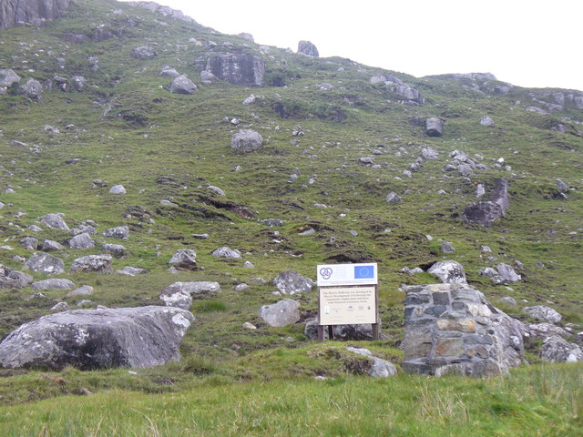
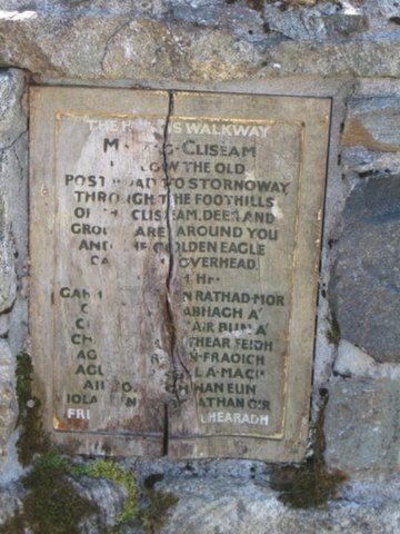
Heritage Information
This old drove road, also the former post road, takes a very different line to the modern A859. It can be clearly seen on old maps. It is said that the crossing of Abhainn Scaladail was historically much closer to Loch Seaforth.
In 2001, this old route became the initial part of the Harris Walkway, and now forms part of the longer Hebridean Way.