Old Post Road Show path on map
Start location: B6355, Ayton Castle ( NT 930 617 )
End location: B6438 at Cairncross ( NT 892 636 )
Geographical area: Lothian and Borders
Path type: Civil Road
Path distance: 4km
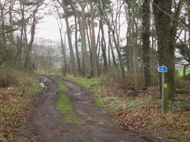
Accessibility info: Suitable for bikes, Suitable for horses, Suitable for pedestrians
Route Description
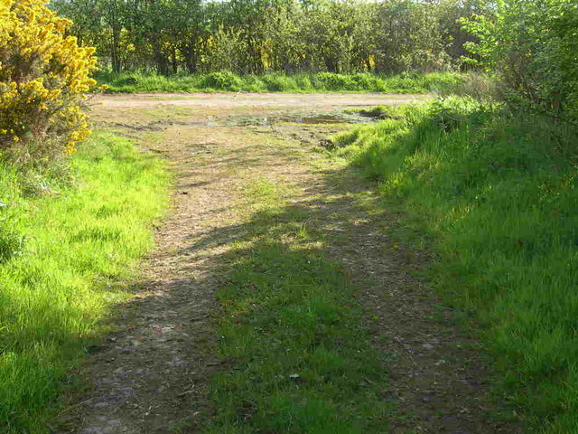
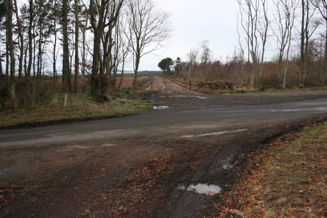
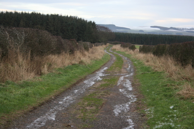
The southern end of the Old Post Road can be accessed from the B6355 near Ayton. However, because the A1 intersects the Old Post Road, this southern section is overgrown and little used as it no longer links easily to the rest of the old route.
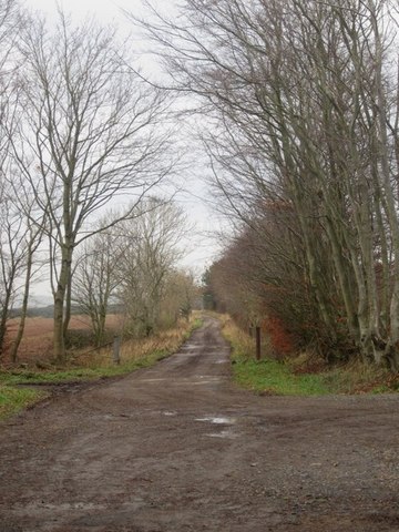
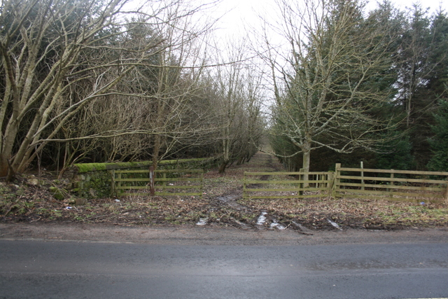
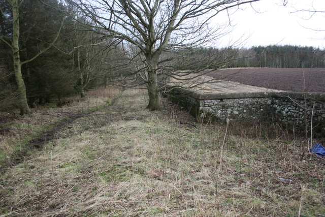
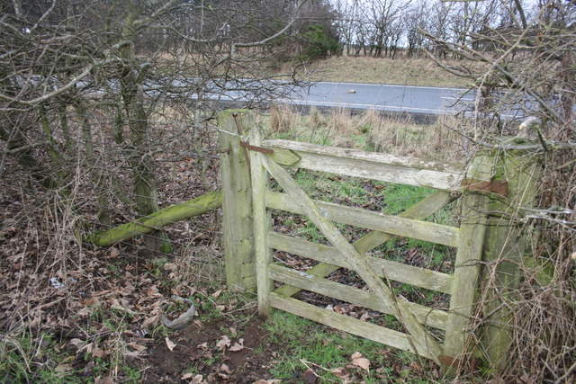
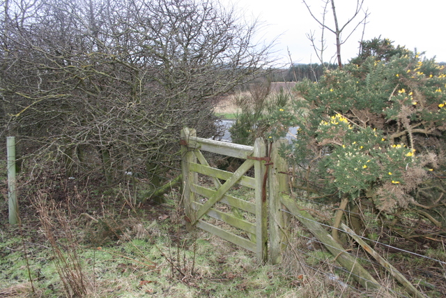
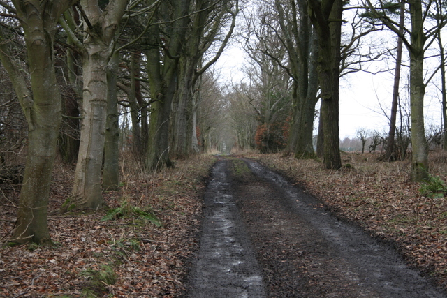
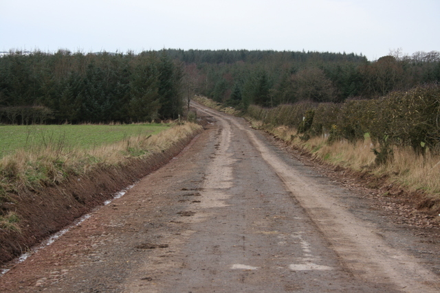
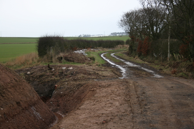
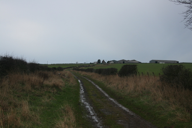
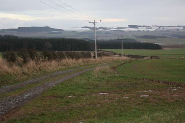
The alternative is to walk a little further northeast along the B6355 to where the A1 passes beneath it. On the north side of the A1, a track heads west initially with a tarmacced surface which soon becomes muddy and prone to puddles and rutting; this regains the Old Post Road at NT923617 and turns northwest. Near Aytonwood House, the Old Post Road crosses a minor road and, improved in condition, it continues to Cairncross where it meets the B438. The Old Post Road’s line continues northwest from here, but as a part of the adopted road network once again.
Scottish Borders Council’s Paths Around Eyemouth booklet uses a 2.5km section of the Old Post Road as part of its Ayton and Eyemouth (Eddie’s) Trail.
OS Landranger 67 (Duns, Dunbar & Eyemouth)
Heritage Information
This road is known as the Old Post Road. The mail coach service between Edinburgh and London was established in 1786. The Old Statistical Account (1791-99) for the parish of Ayton states that the post road to London is now made and supported by two turnpikes - it is also reported that although these tolls when first proposed were keenly opposed, they are acknowledged to be of benefit and the statute labour has been commuted. By the time of Ayton's New Statistical Account (1834) three mail coaches were travelling the road every day - two London coaches and one from Edinburgh to Newcastle. However, this may have been the height of usage as a post road, as the mail coach service was relatively short-lived - the coming of the railways brought the demise of the mail coaches. The North British Railway's line past Ayton opened in 1846.
On Blackadder's 1797 map of Berwickshire there are marked mile numbers counting down the distance to Berwick. These appear to have been the location of milestones put in place when the road was turnpiked to support the improvement necessitated by its development as a post road. It is unclear whether any of these milestones still exist, so the Heritage Paths project would welcome news of these. The exception is milestone number "7" which is not shown on the Blackadder map, as it is positioned on the Old Post Road's former onward alignment southwards through what are now Ayton Castle's policies. Fortunately, this particular old "Mile Post" is handily marked on Ayton Castle Estate's attractive downloadable map of its promoted walks, so should be accessible to visit.
Further north on this road, the entrance to Press Farm is the site of the 'Packet House' where horses could be changed, although there are no visible remains of this. There was also a Coaching Inn in Ayton to serve the huge volumes of traffic that must have passed by. The OSA states that as the first parish in Scotland, Ayton received many poor people, often ill or elderly, from England as they had been sent back for their home parish to care for them. For the OSA to mention it perhaps there were a lot of poor travellers slowly making their way back along the road.
Although this route is known as the Old Post Road, it is as well to remember that the road is older than the postal service that gave it its name. William Roy's Lowlands map of 1755 marks the route that became the (old) post road as Road from Edinbr to Berwick. The Old Post Road is also part of the Great North Road, a much older route that can be considered the precursor to today's A1. Alistair Moffat captivatingly tells the stories of the Great North Road as he traverses it in his 2017 book The Hidden Ways.
Cairncross is reportedly so-named because of a tradition supposing there to have been a cross here marking the boundary for sanctuary associated with Coldingham Priory. It also hosted milestone "10" but, as noted above, to the Heritage Paths project's knowledge no stone marker is located there today.