by David Oxley | 11 September 2025
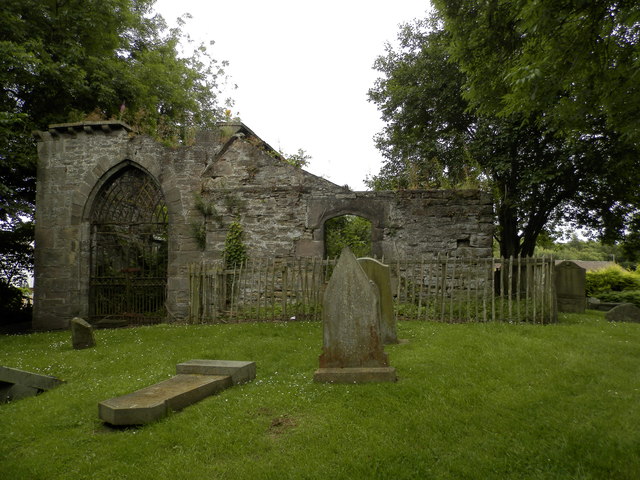
Although the Heritage Paths project only maps the section of the Invergowrie Coffin Road which lies between the James Hutton Institute and Dargie Church, our surveyor walked a longer route which perhaps picks up a further section of its former line. His...
by Eleisha Fahy | 11 September 2025
Our route description is north to south, instead of the south to north direction coffins will have travelled in. The direct route to the church at Old Struan has been lost to forestry, but a later alternative is still accessible and this is described below. From...

by Eleisha Fahy | 11 September 2025
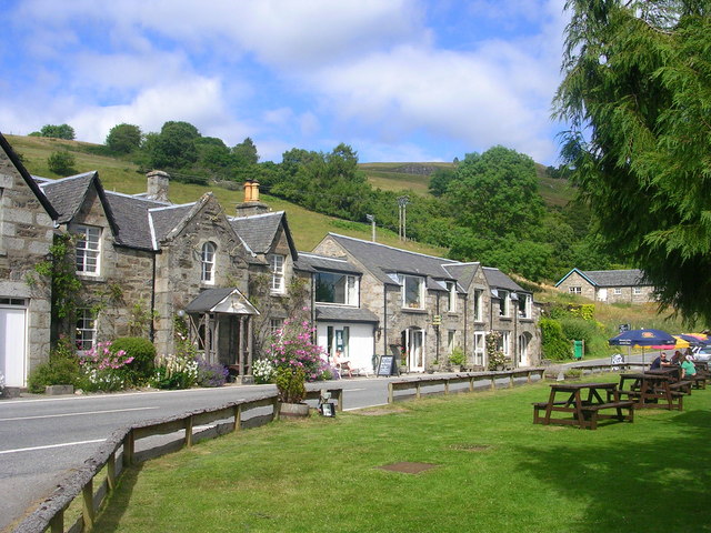
The original route, starting at a signpost beside the hotel in Kirkmichael, is up a sunken, muddy track for 400m and then continues northeast across open fields following faint paths that are waymarked to Ashintully Castle and past there towards two small lochs....
by David Oxley | 11 September 2025
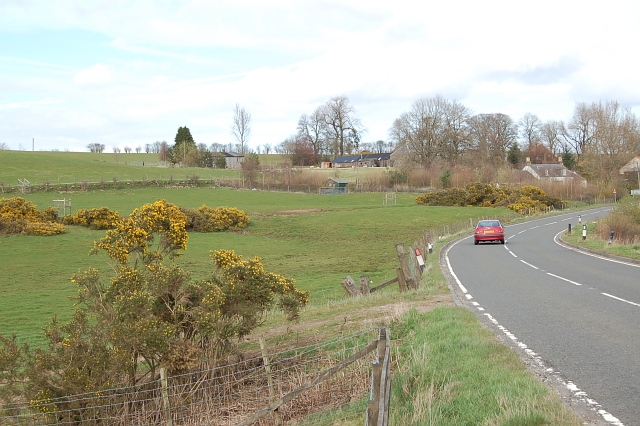
From the A94 at Newlands (NO150275), an access track runs for some 400m to a house near the junction with another right of way (NO149280). A locked gate bars further vehicular traffic, but there is a stout pedestrian stile alongside. The next kilometre of...
by David Oxley | 11 September 2025
From the middle of the small cluster of houses at Carnbo, a tractor-track runs north, weaving its way between cropped and grazing fields. At an otherwise unremarkable point on this track, Grid Ref 053 036, the route follows field edges NNE and NNW to reach the Golland...