Old Road to Kirkmichael Show path on map
Start location: A924, Kirkmichael ( NO 081 601 )
End location: A93, Lair ( NO 142 632 )
Geographical area: Perth, Kinross and Stirling (part)
Path type: Rural Path
Path distance: 8km
Accessibility info: Suitable for pedestrians
Route Description
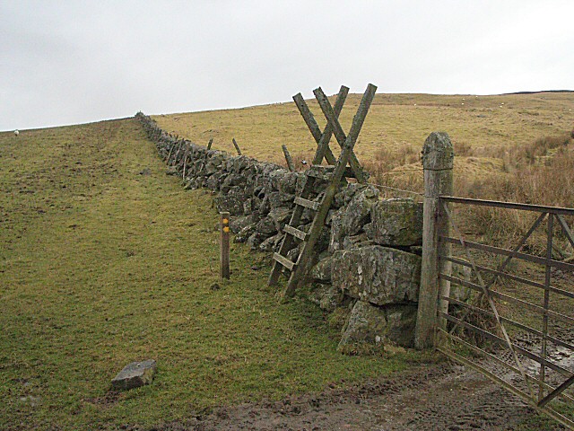
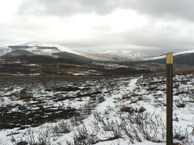
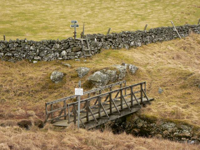
The original route, starting at a signpost beside the hotel in Kirkmichael, is up a sunken, muddy track for 400m and then continues northeast across open fields following faint paths that are waymarked to Ashintully Castle and past there towards two small lochs. Beyond these descend east to cross the Allt Coire a’ Bhaile and climb over the south ridge of Lamh Dearg to reach Lair in Glen Shee.
OS Landranger 43 (Braemar & Blair Atholl)
Heritage Information
This old route linking Kirkmichael with Glen Shee appears on various old maps including the OS 6" of the 1860s and was possibly, before the B950 was constructed, the main road between the two.
According to local information this track from Kirkmichael once led to the 'Market Muir' behind the village. The Old Statistical Account (1791-1799) refers to Kirkmichael's annual fair - in the middle of the eighteenth century this was one of Scotland's principal cattle markets, lasting for several days and sometimes a week. It has also been reported that the village had for many years a weekly market for the local population, and Kirkmichael was licensed as a burgh of barony in 1511 which would have given the landowner the right to hold such markets. We're not yet certain when these weekly markets were held, but perhaps this would have been when this old road from Glen Shee to Kirkmichael was at its busiest.
The track is sunken at the Kirkmichael end, which is a classic sign of a very old road. These are often called holloways and appear because of a huge volume of traffic travelling on an unsurfaced road. This erosion is exacerbated by rainwater and so the surface of the road eventually sinks far below the level of the surrounding land.