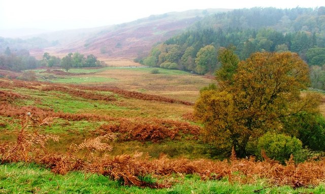
by Finley Jackson | 11 September 2025
This is a long and, at times, complex route through rough and often remote ground with ongoing forestry operations. The description below does not always exactly follow the mapped line, but is the one for which Heritage Paths has received survey information; further...
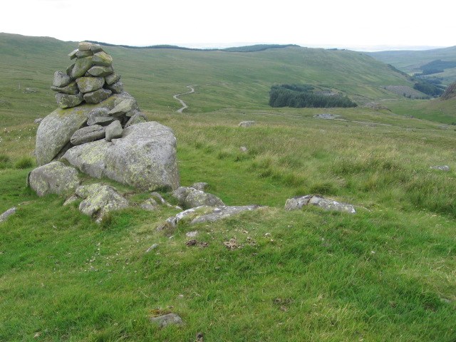
by Neil Birch | 11 September 2025
Follow the road south up Glen Afton for 9km towards Afton Reservoir, but before Craigdarroch take the right hand fork which sits higher up the valleyside than the route to the dam. Circa NS629048, enter the trees on the west bank of the reservoir (rejoining the route...

by Neil Birch | 11 September 2025
From Sanquhar, this old route is now followed by the Southern Upland Way southwest. However, past Polskeoch the old route departs from the SUW circa NS682019 in order to continue southwest to Lorg and down the Water of Ken past Corlae and Auchrae. Just before the...

by Eleisha Fahy | 11 September 2025
On the southeast side of Wanlockhead, a Southern Upland Way (SUW) signpost indicates a route leading southeast around the west side of Stake Hill. In 1km, join the road to the radar station, but at NS883115 leave the road (and the SUW) after 500m to continue due south...
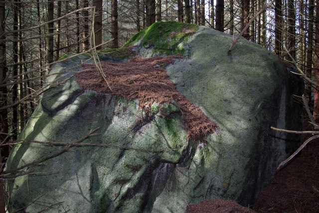
by Eleisha Fahy | 11 September 2025
From the A712, 8km west of New Galloway, take a forest road going northwest to join the Southern Upland Way (SUW), 1km beyond Upper Craigenbay. Go south on the SUW for 1km to Clatteringshaws Loch, then 4km west to the point where it crosses the Black Water of Dee at...
