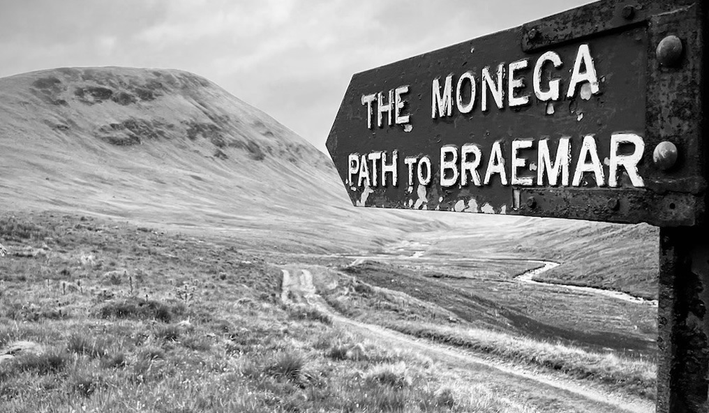
by Eleisha Fahy | 11 September 2025
From Ae Bridgend on the A701 Beattock to Dumfries road (bus route), a public road goes 4.5km northwest to Ae village. This route mostly follows forest and windfarm tracks, but not all of it is accessible for cyclists and equestrians, so variants are described below....
by David Oxley | 11 September 2025
Newsflash! The Heritage Paths (Campsie Fells) Project is very pleased to announce that we have a lovely Campsies map leaflet showing this old road and other paths in the area. To get your hands on one, simply send us an SAE c/o ScotWays (see address top-right)...

by David Oxley | 11 September 2025
Newsflash! The Heritage Paths (Campsie Fells) Project is very pleased to announce that we have a lovely new Campsies map leaflet showing this old route and other paths in the area. To get your hands on one, simply send us an SAE c/o ScotWays (see address...

by David Oxley | 11 September 2025
We do not have an up-to-date survey of this route in its entirity and would be very grateful to receive one. However, in the meantime most of the route is described in the Cupar Walks leaflet available as a download from the ScotWays website. OS Landranger 59 (St...
by David Oxley | 11 September 2025
From Nether Urquhart the route follows a single width tarred minor road as far the Lappie road end, thereafter a rough surface with vestiges of old tarmac passing fields and patches of woodland to new housing north of Glenlomond Hospital. A wooden finger-post is...