Road to Falkland Show path on map
Start location: Unclassified road between Nether/Upper Urquart ( NO 186 092 )
End location: A911 Balnethill, Easter Balgedie ( NO 172 035 )
Geographical area: Fife, Perth, Kinross and Stirling (part)
Path type:
Path distance: 5.75km
Accessibility info: Suitable for pedestrians
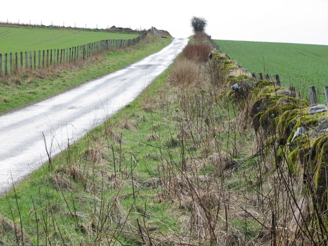
Route Description
From Nether Urquhart the route follows a single width tarred minor road as far the Lappie road end, thereafter a rough surface with vestiges of old tarmac passing fields and patches of woodland to new housing north of Glenlomond Hospital. A wooden finger-post is passed at NO168059, indicating the route up Glen Vale. The route is then a tarred minor public road past the Hospital. Continue on to and past the junction to Wester Balgedie down a track to Balnethill.
OS Landranger 59 (St Andrews, Kirkcaldy & Glenrothes)
Heritage Information
As well as being known locally as the "Dryside Road", this route is also known, more informally - and perhaps only to a few - as the "Sanny Road", referring to the fact that what is marked on the maps as Glenlomond Hospital was also known as the Sanatorium.