
by David Oxley | 11 September 2025
Newsflash! The Heritage Paths (Campsie Fells) Project is very pleased to announce that we have produced a lovely Campsies map leaflet showing this route and other paths in the area. To get your hands on one, simply send us an SAE c/o ScotWays (see...

by David Oxley | 11 September 2025
From the B727, east of Gatehouse of Fleet, head along the access track to Drumwall. The right of way follows the track crossing Irelandton Moor to Carse. Beyond Carse, head south along the public road for 500m to reach the turn-off on the left for Mark. The Military...

by David Oxley | 11 September 2025
At the church road end, the route is signposted Tresta Beach. Follow the road southwest past the church on its south side where it becomes a track skirting the beach. Ahead the track can be seen as a ledge ascending the hill. A track still crosses the moss...
by Eleisha Fahy | 11 September 2025
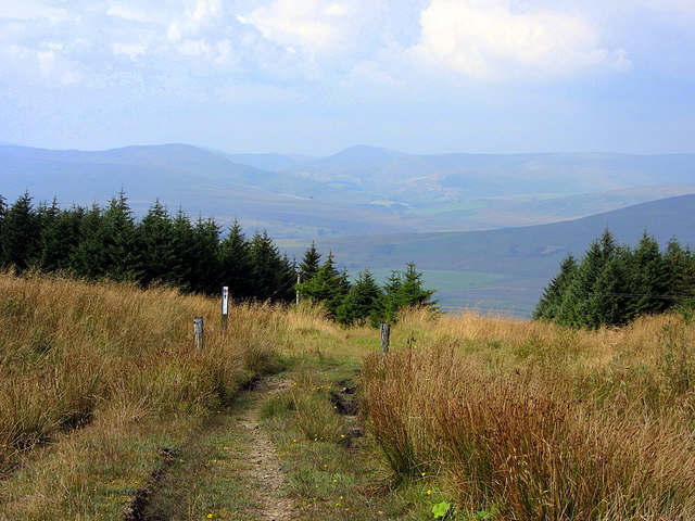
From Dinlabyre, go east uphill by a forestry road past Mountain View. Continue southeast to NY548907 where the track turns northeast towards Larriston Fells. It then crosses open ground at about 500m, diverging from a radio mast’s track at NY560913, to head...
by Eleisha Fahy | 11 September 2025
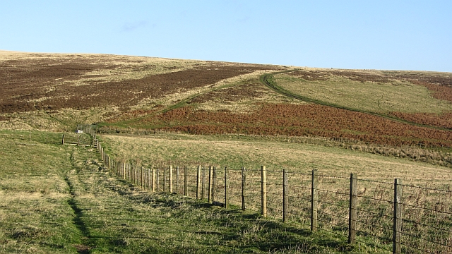
Our surveyors walked this route from NT511530 (west of Addinston) to NT517570 (bridge over Kelphope Burn, Dodcleuch):From the A697, west of Addinston, a signpost indicates The Hillfort. At the farm, turn north as indicated by the hillfort signage. At NT520534, a sign...
