by Eleisha Fahy | 11 September 2025
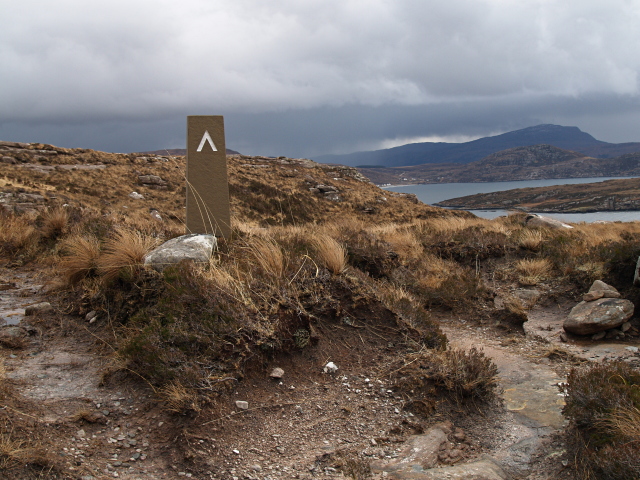
This is a spectacular walk, not without some difficulty, along the lower slopes of Ben Mor Coigach which drop steeply into the sea at the mouth of Loch Broom. At the west end of the walk a public road comes by way of Achiltibuie from Strath Canaird as far as...

by Eleisha Fahy | 11 September 2025
Leave Ballantrae southwards via its old bridge at NX086822. Cross the A77 by a new pedestrian crossing, and follow the minor road south to Garleffin. At NX088817, turn left up a lane between houses (signposted Smyrton and Heronford) and follow it eastwards to reach...
by Eleisha Fahy | 11 September 2025
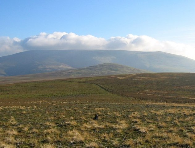
If starting in Kirk Yetholm, head east-southeast along the Pennine Way as far as the Halter Burn, where the “Low Level Pennine Way” heads south to Burnhead From Burnhead, go southeast up the slope of Latchley Hill to the col between The Curr and Black Hag,...

by Neil Birch | 11 September 2025
This old route has only been part-surveyed, so here we look at it in two sections: i) Drumcairn to Stonyford (NO505726). On the north side of the West Water, the path is less distinct and harder to find, than the northern section below. As we have no recent survey of...

by Eleisha Fahy | 11 September 2025
From the crossroads at Traquair, follow Southern Upland Way (SUW) signs southeast past the Village Hall (car park) and The Riggs, then go uphill on the old drove road to the Cheese Well (NT357355) and over the north shoulder of Minch Moor. Continue east over Hare Law,...
