by David Oxley | 11 September 2025
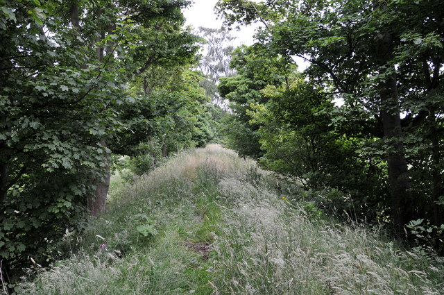
This old waggonway is unfortunately quite difficult to access in some places as fences and an open cast coal mine obstructs it, but diversions can be found. Our surveyor's suggested route follows. For practical reasons, the start is at NT170841, a...
by David Oxley | 11 September 2025
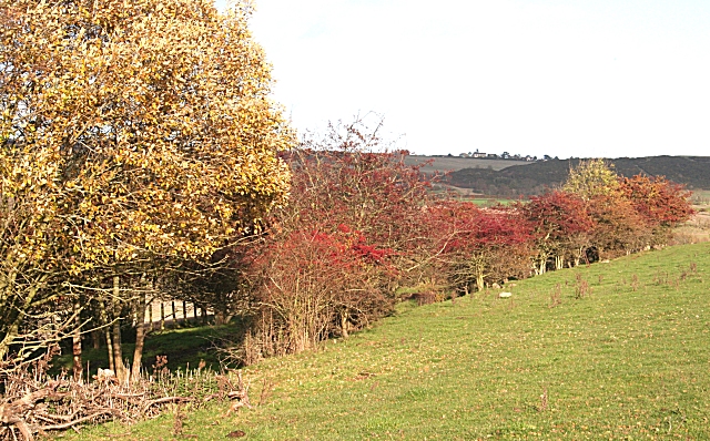
The start at the Kilmany end is on the west side of the "axed" railway bridge at Grid Ref 387 217, where a narrow earthy path leads up from the road onto the trackbed of the old North Fife line. Hoofprints indicate regular equestrian use and there is some...
by David Oxley | 11 September 2025
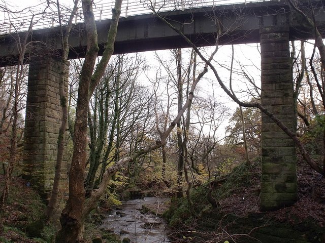
Newsflash! The Heritage Paths (Campsie Fells) Project is very pleased to announce that we have a lovely new Campsies map leaflet showing this old route and other paths in the area. To get your hands on one, simply send us an SAE c/o ScotWays (see address...
by David Oxley | 11 September 2025
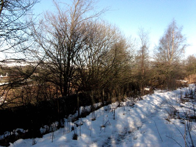
The Bogie Line path starts at Croy Station and follows the south side of the railway line in an easterly direction. After about 1.5km, either continue straight ahead to reach the Wester Dullatur railway bridge which enables access to Croy Hill or...

by David Oxley | 11 September 2025
Here we follow the former Callander & Oban Railway from near its start at Callander northwards to Kingshouse. Most of the route is now the Callander to Strathyre Cycleway which also forms part of the Rob Roy Way, a long distance route from Drymen to...
