
by David Oxley | 11 September 2025
This route is perhaps easiest to start at the big car park in Ceres at the Bishop's Bridge. From there the path is signposted as Right of Way to Struthers. The path to Struthers is very straightforward and well surfaced, although likely to be muddy in...

by Eleisha Fahy | 11 September 2025
From the B6368, just south of Soutra Aisle, Dere Street is signposted from the south end of Soutra Mains Woods. Follow the field edge to reach an old grassy road visible as it goes south to cross the Armet Water. Continuing southeast, Dere Street passes through the...

by Eleisha Fahy | 11 September 2025
Starting at Forest Lodge (NT607287), Dere Street is followed by the waymarked St Cuthbert’s Way (SCW) southeast past Lilliard’s Edge and over Ancrum Moor. Upon reaching the Marble Burn (NT643253), Dere Street’s line becomes speculative, so the easiest...
by Eleisha Fahy | 11 September 2025
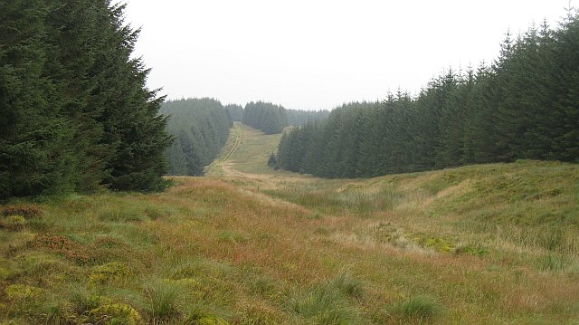
This old Roman road passes through the extensive Eskdalemuir and Craik Forests where notices are displayed denoting sites of historical interest, but forestry activity does mean the old road can be challenging to find and follow. It will be necessary to parallel its...
by Eleisha Fahy | 11 September 2025
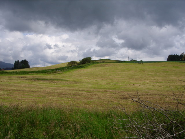
Appropriately enough, this route leaves Minnigaff northwards along Old Edinburgh Road, then go northeast towards Glenhoise for a further 1km. This minor road veers left at NX424673, and here clear traces of the old road continue straight ahead by farm tracks and field...
