by David Oxley | 11 September 2025
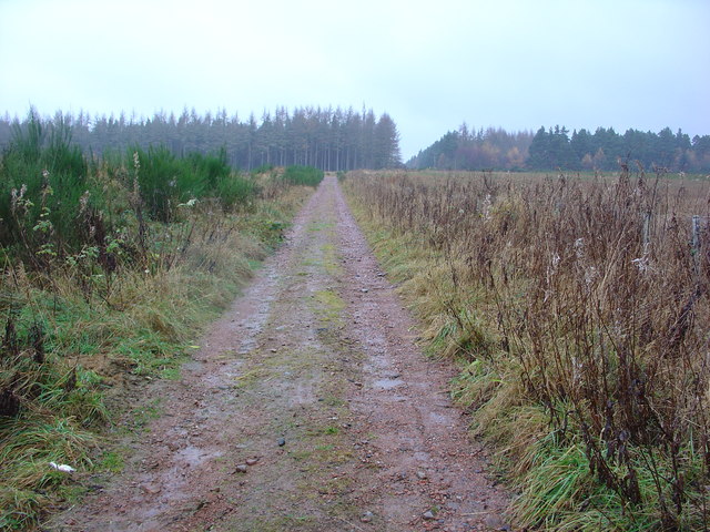
This path runs in a straight line south west from Mount High before gradually turning south to reach Wester Strath. We have no recent survey of this path and so if anyone knows of its accessibility we’d be grateful to hear about it. OS Landranger 21...

by Eleisha Fahy | 11 September 2025
From Blair Atholl go up the east side of the River Tilt to the Old Bridge of Tilt, then cross the river towards Old Blair, but go northwest by the road up the Banvie Burn. In another 2km turn north up the Allt na Moine Baine for 1km, then cross this burn and go...

by Eleisha Fahy | 11 September 2025
Please note: this military road is legally protected through its designation by Historic Scotland as a Scheduled Ancient Monument. It is a criminal offence to damage an ancient monument. The Highland Council has issued the following advice: “You can help to...
by Eleisha Fahy | 11 September 2025
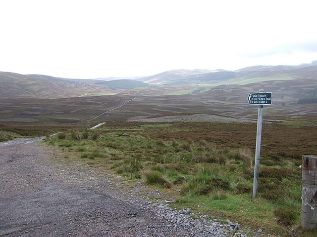
From the Glas Choille road (A939), the Old Military Road crosses to Donside. 1½ km beyond the summit of the A939, strike left along the Old Military Road across the Burn of Tornahaish, down to the River Don and up its south bank to Cock Bridge. OS...

by Eleisha Fahy | 11 September 2025
Leaving the Kingshouse, cross the River Etive by the old bridge and head north then west to within 300m of the A82. There pick up the Old Military Road which runs to the northwest of its replacement along the foot of Beinn a’ Chrulaiste. Just to the west of...