by David Oxley | 11 September 2025
Newsflash! The Heritage Paths (Campsie Fells) Project is very pleased to announce that we have a lovely Campsies map leaflet showing this old route and others in the area. To get your hands on one, simply write to us enclosing an SAE c/o ScotWays...
by Eleisha Fahy | 11 September 2025
Cross Yarrow Water by the bridge just by the weir where it leaves the loch. There is a good track following the river eastward. For the best part of 1km it keeps fairly close to the river, diverging only gradually until the burn coming down from the gap between...

by David Oxley | 11 September 2025
From the B727, east of Gatehouse of Fleet, head along the access track to Drumwall. The right of way follows the track crossing Irelandton Moor to Carse. Beyond Carse, head south along the public road for 500m to reach the turn-off on the left for Mark. The Military...
by Eleisha Fahy | 11 September 2025
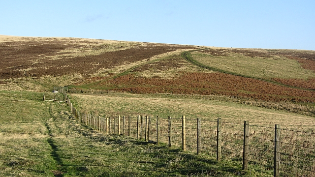
Our surveyors walked this route from NT511530 (west of Addinston) to NT517570 (bridge over Kelphope Burn, Dodcleuch):From the A697, west of Addinston, a signpost indicates The Hillfort. At the farm, turn north as indicated by the hillfort signage. At NT520534, a sign...

by Eleisha Fahy | 11 September 2025
From Lochavich House, a ScotWays signpost indicates north-northwest up the track past Loch na Sreinge (Loch of the String) beyond which is Carn Chailein where Macailein Mor was slain in 1294. After the cairn, at NM926180 take the path (lesser, indistinct) on the left...
