Bore Stane Track Show path on map
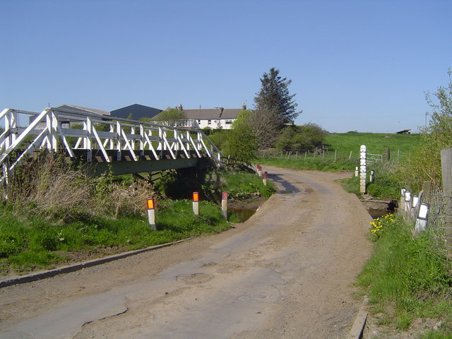
Start location: Beechgrove Farm, A70, opposite disused airfield ( NT 130 654 )
End location: Carlops ( NT 161 562 )
Geographical area: Lothian and Borders
Path type: Rural Path
Path distance: 10.5km
Accessibility info: Suitable for pedestrians
Route Description
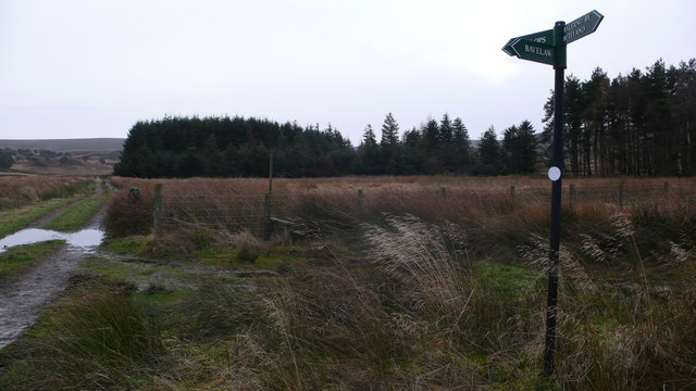
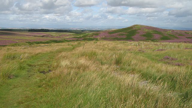
Head generally south from the A70 at Beechgrove Farm, along a minor road passing Buteland Farm to reach a track at NT133642. Follow this track south towards a point just east of Listonshiels at NT136621. From here, follow a good track south as it climbs to the Bore Stane. Near this high point leave the track to join a path which descends south-southeast towards the North Esk Reservoir. Follow the main track to Fairliehope and on to Carlops.
OS Landranger 65 (Falkirk & West Lothian)
Heritage Information
This is undoubtedly an old route crossing the Pentlands and as a trans-Pentlands route, has probably been used for many centuries, by a variety of different people, for various means.
The route passes by Temple House and to the west of Listonshiels is Temple Hill. Both these names refer to the Knights Templar, who owned much of the surrounding land until their suppression.
The Bore Stane itself is simply a natural stone marking the col on the pass. It is unremarkable except that it is named, however it sits today where the council regions of Midlothian, Scottish Borders and City of Edinburgh meet, so is likely a boundary stone and possibly a navigational aid.
The route passes by the North Esk Reservoir, constructed in 1846 to provide water to the mills on the Esk. Seven long graves on one of the islands in the reservoir may be from the early Christian period.