Buccleuch to Deanburnhaugh Drove Road Show path on map
Start location: Buccleuch ( NT 327 143 )
End location: Deanburnhaugh ( NT 398 117 )
Geographical area: Lothian and Borders
Path type: Drove Road
Path distance: 22km
Accessibility info: Suitable for pedestrians
Route Description
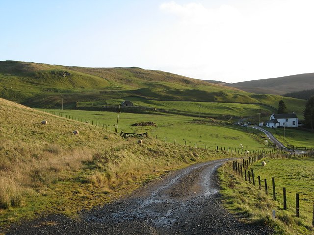
Starting from Buccleuch, ascend the drove road (now a scarred farm track) up over the north face of Little Bleak Law and southeast to enter the forest passing Kingside Loch. Continue generally southeast following forestry tracks, old paths and forest rides. This old route is no longer obvious, and can be boggy and tussocky. Open fields are eventually reached at a gate at NT368127. Keep the drystone dyke on your left and follow this to reach an ancient earthwork, the Catrail, which coincides with the old drove road for 500m. Shortly afterwards, to the east of Girnwood, gain its access track and follow this down to Deanburnhaugh.
Heritage Information
John Thomson's 1824 map of Selkirkshire marks this route as a Drove Road. The OS 6" first edition map (1843-82) also labels it Drove Road.
ARB Haldane in his 1951 book The Drove Roads of Scotland describes this old route from Buccleuch as follows, it "crossed the high ground by Kingsmoor Loch and Girnwood to reach Deanburnhaugh on the Borthwick Water; and so to the valley of the Teviot". Kingsmoor Loch is the name given on John Thomson's 1824 map, but later maps name it Kingside Loch (NT342134).