Old routes to Glen Achall from Inverlael Show path on map
Start location: Inverlael ( NH 182 853 )
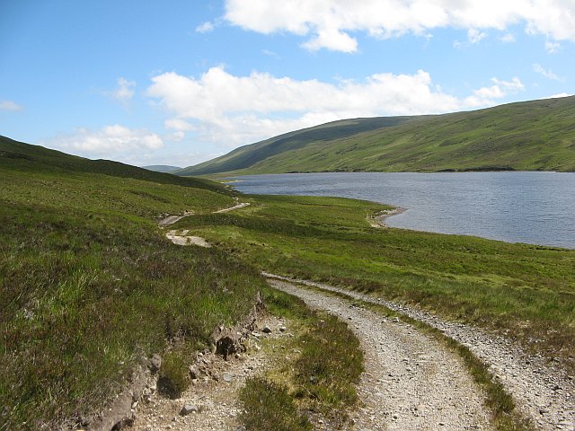
End location: Loch an Daimh, Glen Achall ( NH 278 947 )
Geographical area: Ross and Cromarty
Path type: Rural Path
Path distance: 18km
Accessibility info: Suitable for pedestrians
Route Description
From Inverlael go up the River Lael, crossing to the north side of the river at the first bridge, and continue to NH206855 and there strike north up a zigzag path to reach a higher forest road. Continue north then northeast out of the forest up a newer track on the west side of a deep gorge and when above the gorge head east. At about NH230875 the track peters out on level ground. Continue east then northeast round a hill and drop gradually to the old crofting settlement of Douchary in Glen Douchary near NH244903. From there, two routes go their separate ways to reach Glen Achall:
(a) Heading northeast, a path goes down Glen Douchary on the east side of the river and then northeast across a watershed to the head of Loch an Daimh. Follow the track on the northwest side of this loch to reach the Ullapool to Strathcarron Track. Follow this northeast past Knockdamph bothy and down to Duag Bridge, from where a private road goes down Glen Einig to Oykel Bridge.
(b) Head north-northwest across a col southwest of Meall na Moch-eirigh and descend to East Rhidorroch Lodge in Glen Achall. Cross to the north side of the Rhidorroch River to reach the Ullapool to Strathcarron Track. Go northwest down the private road past Loch Achall to the A835, 1km north of Ullapool.
Heritage Information
This old track appears in the 1st edition of the OS 6 inch to the mile series of maps, which were surveyed in the middle of the 19th century, but doesn't seem to be depicted in maps any older than that. However, Timothy Pont's map of the area, dated between 1583 to 1596, shows a lot of settlements along the line of the route. It is therefore likely there has been a track on this route for a very long time, but it wasn't substantial enough to be mapped until Ordnance Survey started mapping in greater detail.