Ullapool to Strathcarron Track Show path on map
Start location: Ullapool ( NH 129 949 )
End location: The Craigs ( NH 472 908 )
Geographical area: Ross and Cromarty
Path type: Rural Path
Path distance: 41km
Accessibility info: Suitable for bikes, Suitable for pedestrians, Survey required
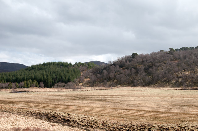
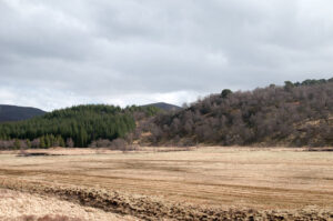
Route Description
Go north from Ullapool along the A835 (North Road) for 1km, then turn right up the private road on the south side of the Ullapool River and continue up Glen Achall as far as East Rhidorroch Lodge. Beyond there go along the track which leads to Loch an Daimh, along its north shore past Knockdamph bothy (NH286954) to Glen Einig. The track then continues to Duag Bridge, although note the ford over the Abhainn Poiblidh (NH319977) may be impassable in wet weather. From Duag Bridge, the route then follows a path on the right which goes east to the Allt nan Caisean. Continue southeast over a low ridge to reach the end of the track in Strath Cuileannach and follow it past Croick Church to The Craigs.
This route makes for a challenging cycle.
OS Landranger 16, 19, 20 and 21
Heritage Information
The whole length of this track is shown in the 1st edition Ordnance Survey 6 inch to the mile maps while the section from Ullapool to Glen Oykel is shown in Arrowsmith's map of Scotland from 1807. Both the OS and Arrowsmith earlier note a large number of settlements and townships along the route of the road. It must have seen a huge amount of traffic from people living along the route and also from people going from coast to coast - there are few roads in Scotland that link west to east as quickly and directly as this one.
The initial part of this route, from Ullapool to Loch Achall, is shown in Roy's Military Survey of 1747-55. This probably means that the estate kept that section of road to a standard worthy of mapping by Roy and his surveyors while the rest was not of a good enough standard to mark out.