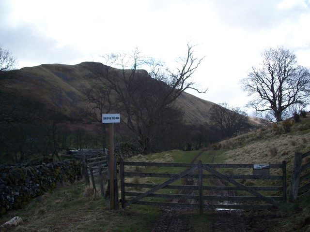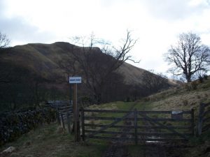
Glen Eagles Drove Road Show path on map
Start location: West Mains, Gleneagles ( NN 928 089 )
End location: Track off A823, by Glenhead Farm ( NN 949 052 )
Geographical area: Perth, Kinross and Stirling (part)
Path type: Drove Road
Path distance: 4.4km
Accessibility info: Suitable for pedestrians
Route Description
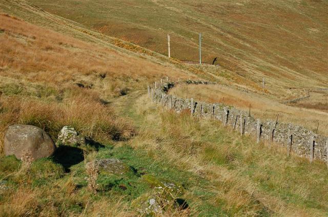
This is a very straight path on the west side of Glen Eagles, signposted at both ends. It starts off the main road just north of Glenhead Farm and follows the track past St Mungo’s Farm to the castle at the north end.
OS Landranger 58 (Perth & Alloa, Auchterarder)
Heritage Information
ARB Haldane, who wrote the classic book on droving in Scotland, The Drove Roads of Scotland, caught his interest in droving when considering the several drove roads that cross the Ochils. The one he had particularly called to mind was the Cadgers' Yett, but he noted also the use of this parallel route through Gleneagles. Haldane points out that "drovers were adepts at avoiding tolls" - this old drove road was probably a very useful way for drovers to bypass the Glen Eagles toll house, as it is essentially a very short detour.