Cadgers’ Yett Show path on map
Start location: Dollar Burn, Back Road, Dollar ( NS 963 983 )
End location: Coulshill near Auchterarder ( NN 979 092 )
Geographical area: Perth, Kinross and Stirling (part), Stirling, Clackmannan and Falkirk
Path type: Drove Road
Path distance: 12km
Accessibility info: Suitable for pedestrians
Route Description
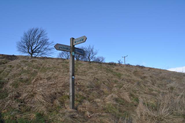
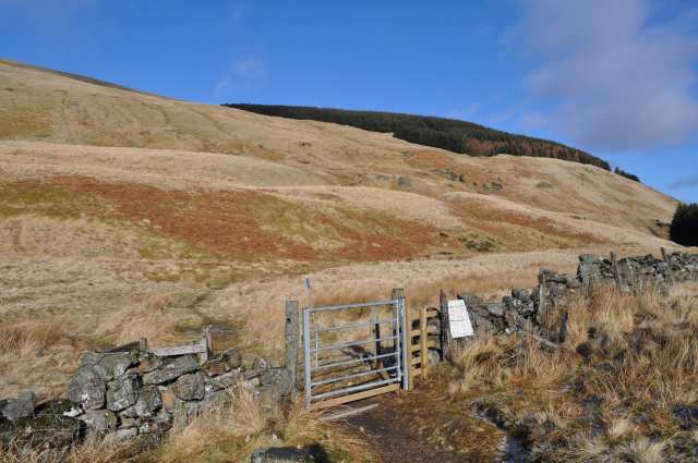
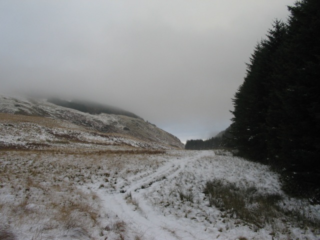
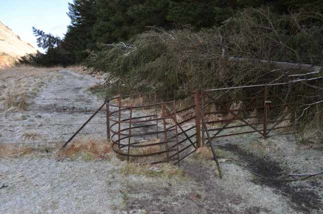
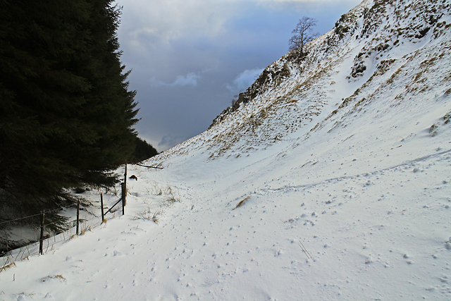
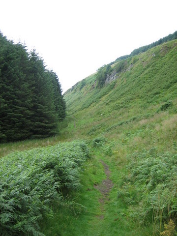
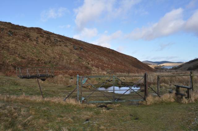
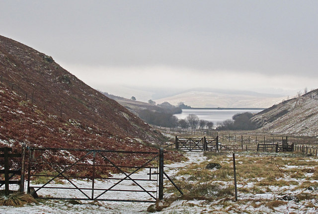
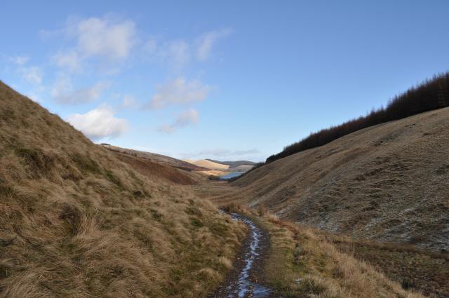
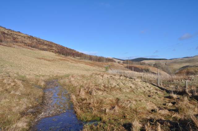
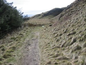
Start from Dollar Museum which is situated next to the Dollar Burn on Back Road. From here follow this road northeast, forking left into Hillfoots Road, then take a left turn into Castle Road. Pass two car parking area, and just past the second of these (for Castle Campbell), continue north along a path on the east side of the Burn of Care between felled forest plantations and past Maiden’s Well (NN970013). Continue past Glenquey Reservoir down to Burnfoot and cross the River Devon via a footbridge. Go up Borland Glen by a path on its west side. Cross the pass (Cadgers’ Yett) just below the Green Knowes windfarm to the west and with Green Law on the east. Descend to the Coul Burn, and go northwest down the glen by a path which becomes a minor public road at Coulshill.
OS Landranger 58 (Perth & Alloa, Auchterarder)
Heritage Information
This old drove road deserves a special mention for it played no small part in the genesis of ARB Haldane's classic text The Drove Roads of Scotland. In the introduction Dr Haldane describes this old road which crosses the Ochils behind his home in Auchterarder and tells us how he thought it would be of interest to trace its history. Local tradition indicated that the route had been used for the droving of both cattle and sheep during the latter part of the eighteenth century and for much of the nineteenth. However, beyond that he knew very little and with his interest sparked he determined to find out more - eight years of gathering information later his book was published.
This long established route across the Ochils is also known as Cadgersgait or Tinkers Gate. On the first edition of Ordnance Survey's 6" to the mile maps, Cadgergate Head is a named feature on the part of the route where it crosses from one parish to another just north of the Borland Gap between Ben Thrush and White Creich Hill. A Cadger was an itinerant trader who would visit householders selling wares or services. A tinker was also an itinerant trader, but would have been from the Gypsy/Traveller community. The name Tinker was at one time a respectful name as they were often tinsmiths and would tinkle as they walked - tinkler gradually became Tinker which is now regarded as a derogatory name. However, both cadgers and Gypsy/Travellers were very highly regarded members of society and were relied upon for many things.
It would make sense that this path was frequented by traders as the main road that ran through Muckhart and Burnfoot had two tolls along it, so this path was a very good way to travel between Dollar and Auchterarder without paying these tolls. Close to where the formerly tolled road (now the A823) intersects with the Cadgers' Yett lies Glendevon's Tormaukin Hotel, which is said to have originated in the 1720s as a drovers' inn.
There is some discussion over the derivation of Glen Quey; one suggestion is that it relates to kye or cows which would fit with its droving history. Another suggestion is that its name comes from the gaelic Gleann Coimich - the glen of the stranger or foreigner. The woods in Glen Quey are now in the care of The Woodland Trust Scotland; a Glen Devon Woodlands map showing a number of waymarked routes can be downloaded from their Glen Quey webpage, and it also references this old drove road.