Laird’s Road Show path on map
Start location: Grantshouse ( NT 809 655 )
End location: Old Cambus ( NT 805 695 )
Geographical area: Lothian and Borders
Path type: Rural Path
Path distance: 4km
Accessibility info: Suitable for pedestrians
Route Description
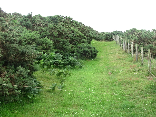
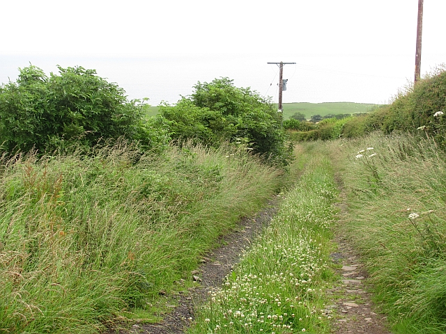
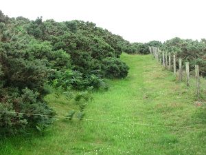
Take clear tracks through fields to north of Grantshouse past mast. From wood after second mast go across field, over slight rise, to a gate and onto a track. Follow this track to the right to the next gate. After the gate bear left, follow tractor tracks and when they fork take the right fork, then as the track swings left turn off to the right, through gorse to corner of field above Redclues Cleugh. This area may be heavily covered in gorse. Wend way through the gorse, either keeping near fence on your left or bearing off to the right after about 100 yards, to pick up a tractor track. This area is heavily covered with gorse. Cross a field to the gate above Old Townhead then follow the track down to A1107 at Old Cambus.
Heritage Information
This old path appears in many old maps including one dating to 1771 showing it to be centuries old. It passes the sites of many historic cairns such as Andrew’s Cairn, St David’s Cairn and Craw’s Cairn, although little remains of these now. The path also passes the site of Greenside Well, a very important feature to travellers in the days before bottled water.
The path was called the Laird’s Road in an Ordnance Survey map of 1858; it was probably named after a feature called Laird’s Folly which was located along the route in the 19th century. The path crosses the hills to avoid the lower ground that may have been heavily forested and marshy - a common feature of very old tracks.