Corse of Slakes Show path on map
Start location: Anwoth Old Kirk, Gatehouse of Fleet ( NX 582 562 )
End location: Minnipool Place, Creetown ( NX 478 589 )
Geographical area: Dumfries and Galloway
Path type: Military Road
Path distance: 15km
Accessibility info: Suitable for pedestrians
Route Description
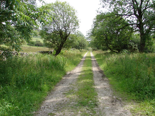
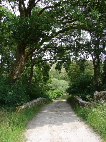
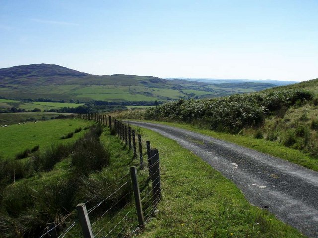
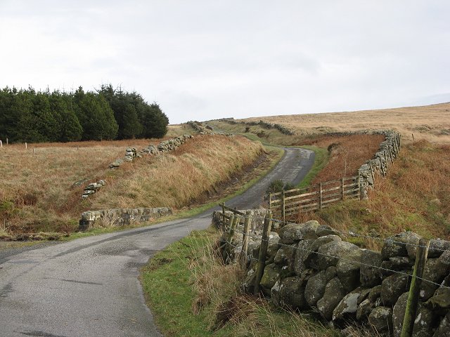
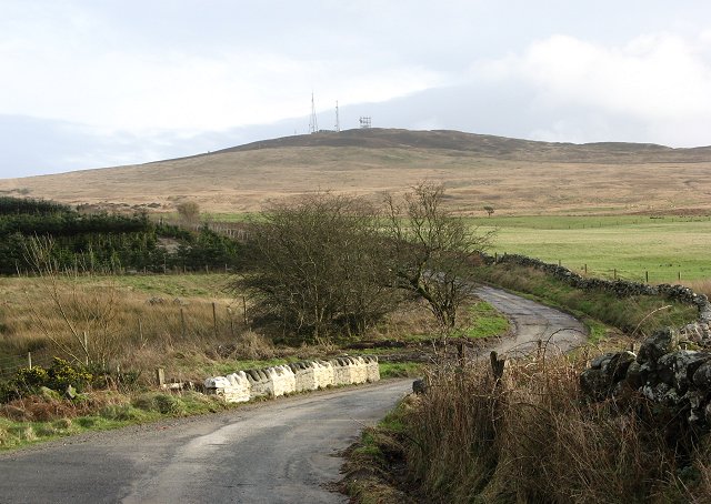
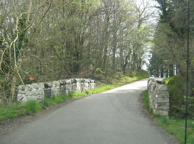
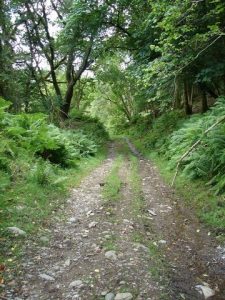
From the ruined Old Kirk at Anwoth, a sign stating unsuitable for motor vehicles indicates the start of this old military road which follows a gated track generally northwest. It passes between Kirkbride and Ardwall Hills, then drops down past Kings Laggan and Lauchentyre to cross the Skyre Burn via the Glen Bridge, and shortly thereafter reaches the tarmacced Corse of Slakes Road which can be followed to Creetown.
OS Landranger 83 (Newton Stewart & Kirkcudbright area)
Heritage Information
There is a great deal of detail about the Corse of Slakes in William Taylor's excellent book The Military Roads in Scotland, published in 1976. This route is part of a relatively unusual military road, one that wasn't built to counteract the Jacobite threat, but instead to facilitate the passage of troops to and from Ireland. The need having been identified, preparatory surveys were undertaken in 1757, and of the two options considered, this route by Gatehouse of Fleet was preferred over that via New Galloway, as this was deemed more suitable for both military and civilian needs. There was already a road leading this way but there had been complaints about its state in the 1740s, and it was still found wanting by 1759. In the 1760s, the military under Major Rickson but supervised by Major Caulfeild, thoroughly reconstructed and realigned the road. The work on this section of the military road was undertaken by two parties, one based at Anwoth and the other at Creetown, both working towards the Corse of Slakes where extra men were required. Major Rickson reported that the military work parties would manage 1.5-2 yards per man per day, sometime 2.5 yards; a day started at 3am and finished at 12noon or 1pm. By the end of October 1763, the new Corse of Slakes road was open, though shut to use by cattle.
Presumably, the cows continued to use the older road which appears to have passed between Cambret and Stronach Hills - it can be clearly seen on older Ordnance Survey 1" and 6" maps, and will be the route shown passing over Corshill on the 1752-55 Roy Lowlands survey mapping. The latter hill name points to the derivation of Corse of Slakes, since Corse means cross or crossing, and Slake is likely another variant on the slap/slochd theme meaning pass. It would seem that the Corse of Slakes name more properly belongs to the old road's alignment than the newer military road which adopted it.
This old Military Road from Bridge of Sark to Portpatrick now largely lies under the A75, but the Corse of Slakes road (appropriately) goes over the hills, rather than follow the coast as does the modern road between Gatehouse of Fleet and Creetown. Interestingly, Major Rickson actually rejected a late plea to reroute the military road from the Corse of Slakes to the coast. However, pressure continued in this regard as in 1786 it was suggested that the half-made coast road should be completed since the military road over the Corse of Slakes was impassable in winter. Other remnant sections of this Dumfries and Galloway military road can be found near Glenluce and Newton Stewart.
There has been a church at Anwoth from at least the 1100s. The ruins visible today were originally built between 1626-27 and were in use until 1825, so is contemporaneous with the military road work. The Parish Church to the south was completed after this between 1826 and 1828, but it too is no longer in use.