Cryne Corse Mounth Show path on map
Start location: Spyhill ( NO 761 916 )
End location: Public road, Cleuchhead ( NO 763 841 )
Geographical area: Grampian
Path type: Medieval Road
Path distance: 8.3km
Accessibility info: Suitable for pedestrians
Route Description
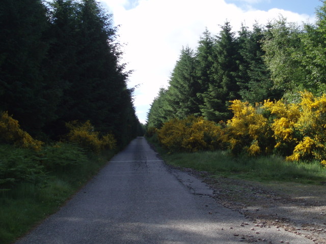
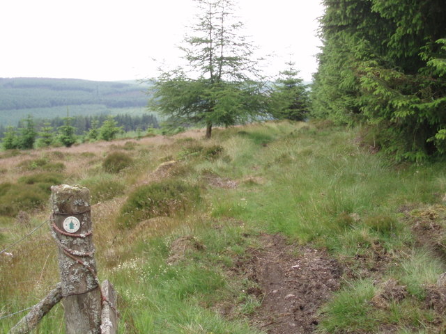
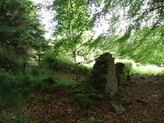
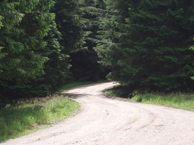
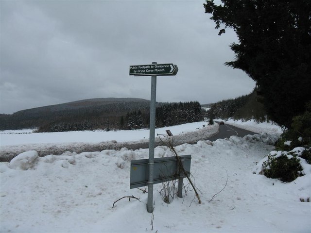
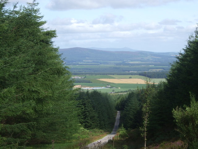
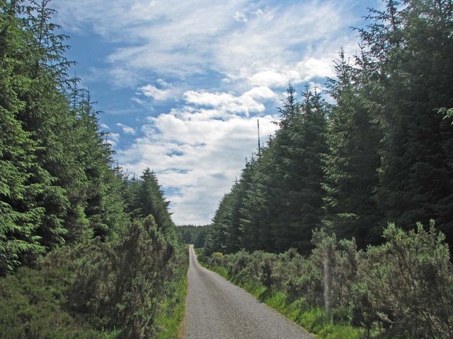
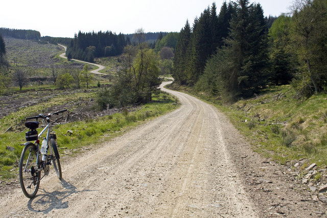
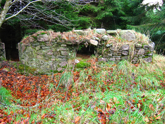
This old route leaves a small parking area at its north end and rises up a steep tarmac road which is the access to the Durris transmitter. Just before reaching the transmitter site, turn left onto a track at a waymarker (NO765900). After a short distance, a right turn (south) is made onto a footpath following a break in the forest used by power lines. This path is followed until it crosses a forest track at NO766886, then head downhill until making a right turn (southwest) at a sign onto a main track. This is followed south until a left turn at another sign (NO764873) to cross the Cowie Water by a concrete bridge. The road rises and passes the Lady’s Leys ruin (NO764871), the waymarked line ascending Laird’s Leys and onwards to a junction at NO765860. Here, the historic line heads southwest towards Cleuchhead and out to the public road. Alternatively, from that junction continue southeast to NO773857, where turn right to the small car park at Quithel.
OS Landranger 45 (Stonehaven & Banchory)
Heritage Information
This old path has been used for many centuries as an alternative crossing of the Mounth to the nearby Slug Road. It is said to have been used by Edward I in 1296, and also by William Wallace. Long after the Wars of Independence, it was by the Cryne Corse Mounth that the Marquis of Montrose reached Aberdeen in September 1644, following his victory against another Covenanter force at the Battle of Tippermuir.
The Cryne Corse Mounth was used by drovers to get to St Palladius' Fair (Paldy Fair) on Herscha Hill, north of Auchenblae, by Fordoun. According to ARB Haldane's 1952 book The Drove Roads of Scotland, it was a tryst of some importance. In 1795, it was said that up to 3000 cattle were sold at this Fordoun cattle fair each July, and that most of them had come from the north. In 1863, the Ordnance Survey Name Book for Kincardineshire notes that Paldy Fair is held from the first Tuesday after 11th July for three consecutive days - the first day being for Sheep, the second day for Cattle, the third for Horse and also Reapers for the harvest. The site of Paldy Fair can be seen clearly marked on OS 6" second edition mapping (1892-1905) and also on the OS 1" mapping until at least the 1950s.
Cryne Corse is also known as Cryne Cross, as corse means cross or crossing; Corse of Slakes is another such use. The origin of Cryne is less clear; in Grampian Ways (2002), Robert Smith gives a number of theories such as the pass having perhaps been named after a local Aberdeen family called Cryne.
The route passes Red Beard's Well, located at the source of the Adequoich Burn. The well is named after the head of a group of highwaymen who would wait in a cave on Craigbeg for passing victims. This highlights the danger to travellers on lesser known routes, but also the importance of wells, springs and fresh water to the course taken by old roads. As people took so long to travel from place to place, and would exert a great deal of effort in doing so, there was a great need for roads to pass many sources of fresh water; sometimes such old wells would be ornately decorated.
The Heritage Paths project is pleased to announce that Neil Ramsay (our former Project Officer) and Nate Pedersen (one of our earliest volunteers) have teamed up to write an e-book - The Mounth Passes - with photography by long-standing ScotWays member Graham Marr. If you too are interested in the heritage of these old ways through the Grampian Mountains, we highly recommend it.