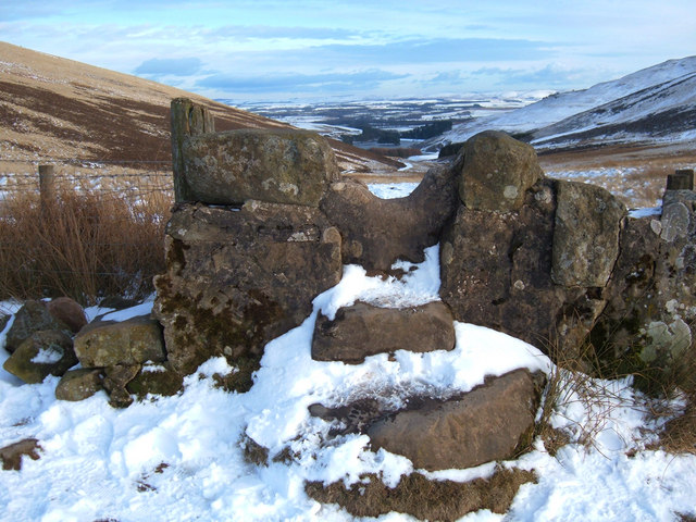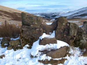
Maiden’s Cleuch Show path on map
Start location: Kirkgate, Currie ( NT 183 678 )
End location: A702, Flotterstone Inn ( NT 234 631 )
Geographical area: Lothian and Borders
Path type: Rural Path
Path distance: 7.6km
Accessibility info: Suitable for bikes, Suitable for pedestrians
Route Description
From Currie, go south by the Kirkgate, cross the Water of Leith and continue steeply uphill passing the church on the left. At the top of the hill, continue straight ahead across across a track, passing through trees and then onto open moorland. At a path junction at NT192652 turn east through a gate, then go southeast through the Maiden’s Cleuch between Harbour Hill and Bell’s Hill, and descend to Glencorse Reservoir. Turn east along the tarmac access road to Flotterstone (information point, cafe, toilets and car park).
OS Landranger 66 (Edinburgh, Penicuik & North Berwick)
Heritage Information
This route is shown on Roy's map of 1755. In 1666, Tam Dalziel of the Binns crossed the fourteenth century Currie Brig with his forces on their way to defeat the Covenanters at the Battle of Rullion Green. As the battle site lies near the south end of this route, it seems probable they travelled via the Maiden's Cleuch.