The Street Show path on map
Start location: Adjacent to Hownam old school ( NT 778 191 )
End location: Pennine Way - gate at Border fence. ( NT 836 154 )
Geographical area: Lothian and Borders
Path type: Drove Road, Medieval Road
Path distance: 7.8km
Accessibility info: Suitable for pedestrians
Route Description
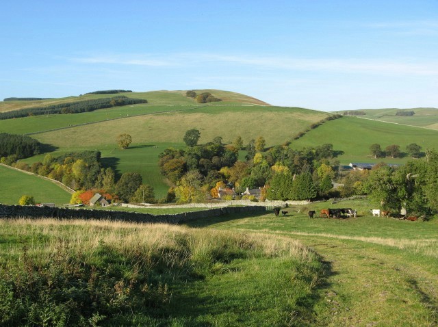
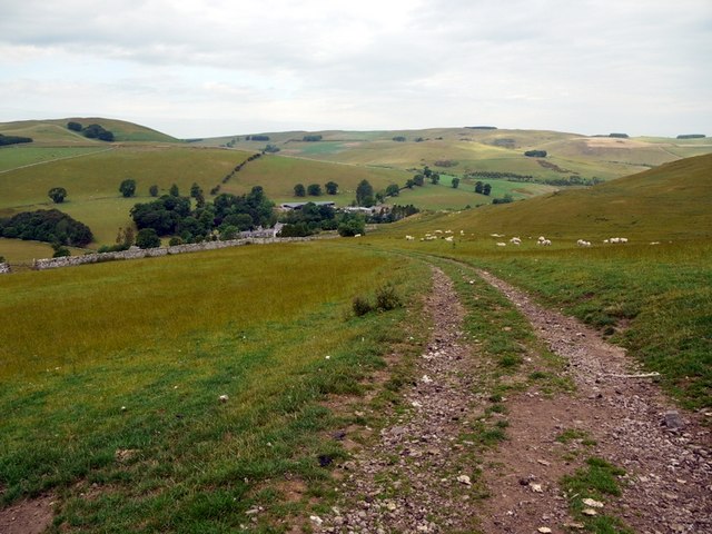
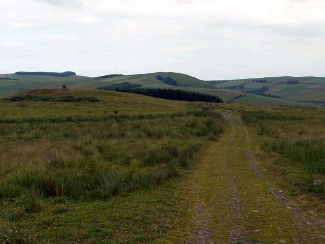
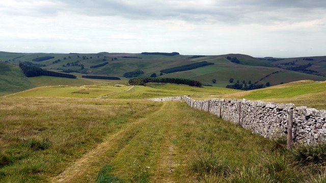
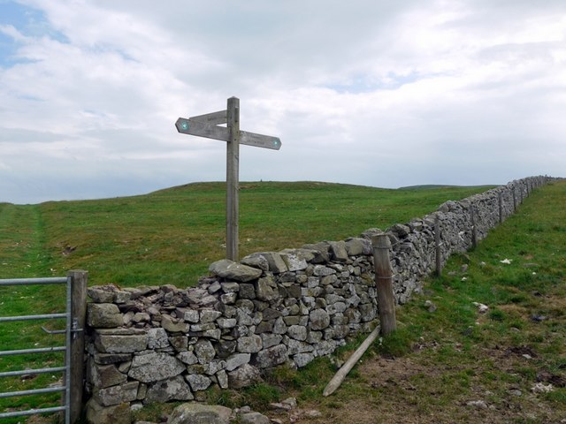
From Hownam, go east uphill by the track called The Street. Turn southeast at NT791190 to follow it over Windy Law, Craik Moor and Green Knowe (415m) to the Pennine Way and the border with England at NT836154.
OS Landranger 80 (Cheviot Hills & Kielder Water)
Heritage Information
The Street is marked on the Ordnance Survey 1st edition 6" mapping (1843-1882) as a drove road. It is said to have been used to move cattle and sheep from Scotland into England. It links via the border ridge route to Clennell Street.
There are some clues that indicate The Street's origins are likely a great deal older than its droving history. An at least medieval date is suggested as it follows an old parish boundary, that on the eastern side of Hownam parish. It also goes through a number of linear earthworks known as cross dykes; the purpose of these is unknown but is thought to have been a method of controlling traffic. These and the Hownam Rings hill fort that the path passes open up the possibility that the path is pre-medieval. Certainly, its ridge-following nature and its braiding in places are characteristic of very old routes.
Occasionally walking guides make mention of The Street having been a Roman Road, but there is no evidence of this. Even the earliest use of the name located so far is the afore-mentioned OS 6" map (1843-1882). Interestingly, the name The Street is used in the Statistical Accounts for Hownam (1791 and 1836), but from the descriptions therein, it is clearly being applied to Dere Street which runs along Hownam's western parish boundary. Is it possible there was a mix-up and the The Street name was mis-applied either in the Statistical Accounts or the OS mapping?
Although it is sometimes said that The Street is marked on Roy's military map of 1755 as Clattering Path, this assertion may date to a transcription error between the first and second editions of Scottish Hill Tracks (1947 and 1975). Roy's Lowlands map of 1752-55 shows the Clattering Path actually refers to the right of way which heads down to Calroust, whilst The Street is not marked at all.
If anyone knows more information about either The Street or the Clattering Path, the Heritage Paths project will be very pleased to hear from them.