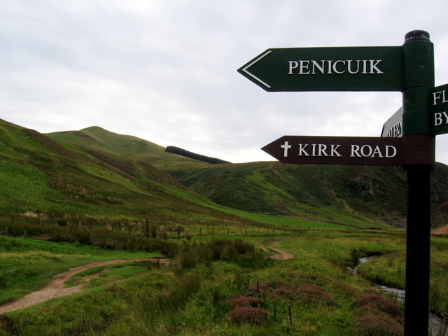
Old Kirk Road from Bavelaw to Penicuik Show path on map
Start location: Bavelaw, by Bavelaw Castle ( NT 166 627 )
End location: A702, west of Penicuik ( NT 211 609 )
Geographical area: Lothian and Borders
Path type: Rural Path
Path distance: 5.25km
Accessibility info: Suitable for pedestrians
Route Description
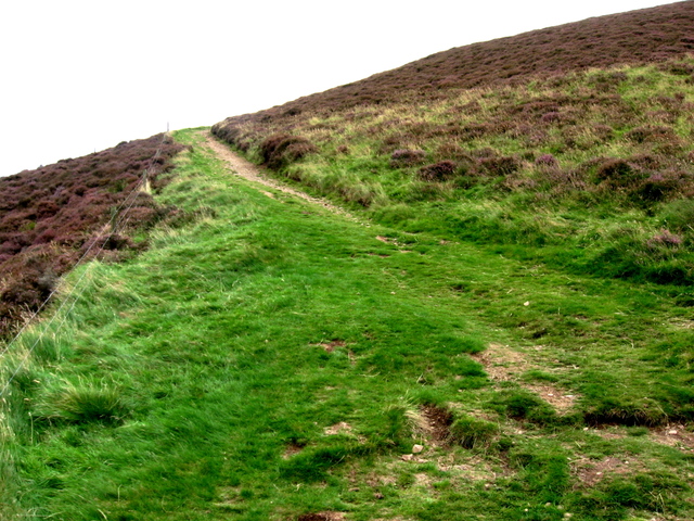
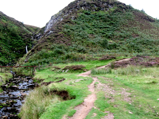
Crossing Threipmuir Reservoir by a bridge, go up the steep avenue. At the top turn left, then right, passing the entrance to Bavelaw Castle. After a gate/stile, the route becomes a footpath going east-southeast and into Green Cleuch between Black Hill and Hare Hill to reach the Logan Burn. Follow the glen round towards a cottage, The Howe, and just west of it a path goes steeply uphill to reach the high pass between Carnethy Hill and Scald Law (at 579m/1899ft, the latter is the highest of the Pentlands). Continue downhill from the pass by the Grain Burn to the A702. To reach Penicuik, turn left along the main road, then take the first road on the right and go down by Coates Farm to Penicuik.
Heritage Information
Bavelaw and Loganlea were part of the parish of Penicuik, so this old kirk road was the route residents took to church services in Penicuik. The New Statistical Account (1834-45) makes mention of this practice: "Inhabitants of the parish now living can easily remember the days when upwards of twenty heads of families would regularly cross the Pentlands to worship at Penicuik; now scarce a single individual comes from that quarter of the parish, all the families there being reduced to two or three".