The Old North Road Show path on map
Start location: A909 at the west side of Dunearn Hill ( NT 206 874 )
End location: B925 just south of Mossmoran ( NT 189 895 )
Geographical area: Fife
Path type: Civil Road
Path distance: 3.1km
Accessibility info: Suitable for pedestrians
Route Description
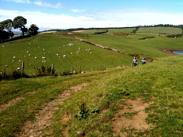
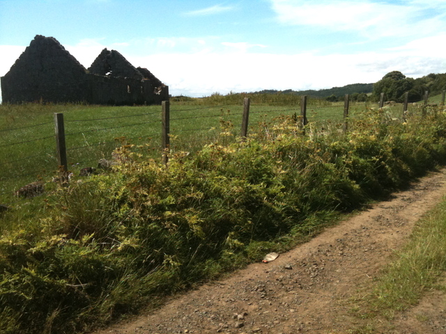
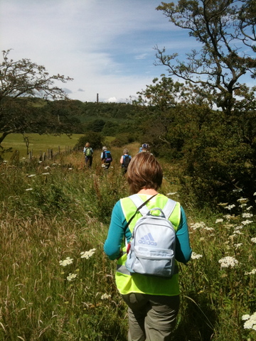
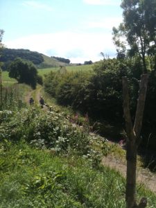
This path can be accessed from Aberdour by the right of way that continues up Murrell Road and past the ruined Balram farmhouse, which leaves a short stretch of walk along the A909 that can be missed out by using the field boundaries. The old road begins properly at the foot of Montquey Hill where it turns into an access road to Balmule Farm. After Templehall Cottages it turns back into a track and is easily followable till it enters a plantation. Once in the plantation there is a drainage ditch and a number of fences to cross but the barbed wire has been covered at the crossing points, which show the way to continue.
OS Landranger 66 (Edinburgh & Midlothian area) or OS Explorer 367
Heritage Information
This old road is depicted in John Ainslie's map of 1775, John Bell's of 1796, John Thomson's of 1827 and Sharp, Greenwood and Fowler's map of 1828. It is also shown in the first edition of Ordnance Survey's one inch to the mile series of maps where it is named as The Old North Road. Interestingly it also seems to be one of the very few roads shown by Herman Moll in his maps that date to the early 18th century. Moll shows it as a continuation of the ferry to Burnt Island and leading through Moss Moran to the west end of Loch Leven.
It is likely that this was a critical road in the past and was indeed the main route north for people travelling from the Lothians to Fife and onwards to Perth.