by David Oxley | 11 September 2025
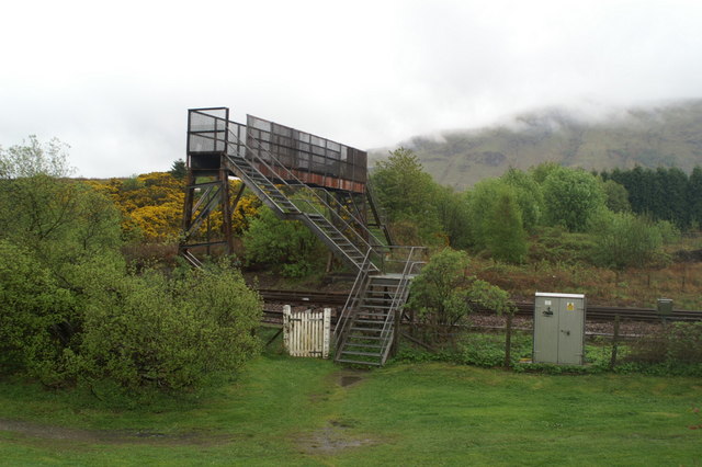
From the end of Locheil Road the obvious continuation is a cycle path; but to the right of this steps lead down a shallow grassy bank and across 10m of grass to a metal bridge over the railway. Definitely a footbridge: 1m wide and steep metal steps. On the far side a...

by Eleisha Fahy | 11 September 2025
Our route description is in the opposite direction to that which the drovers took with their cattle. Cross the bridge at Kinloch Hourn, go through the grounds of Kinloch Hourn House, passing on its right into the woods behind the house, and climb steeply up a path to...
by Neil Birch | 11 September 2025
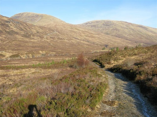
At Fassfern, there is ample parking by the stone bridge on the old road. From here, the route is signposted on the east bank of the burn and is waymarked through the forest on to the open ground of Gleann Suileag. Cross the burn between the edge of the wood and...
by David Oxley | 11 September 2025
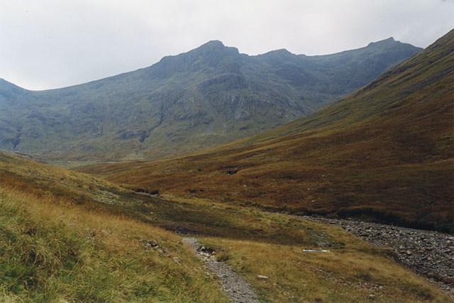
From the signposted start on the A82, the path passes through land owned by the NTS and rises to 500m, passing through rugged mountain scenery with huge rock screes on both sides. It descends steeply from the watershed towards Glen Etive, passing through a...
by David Oxley | 11 September 2025
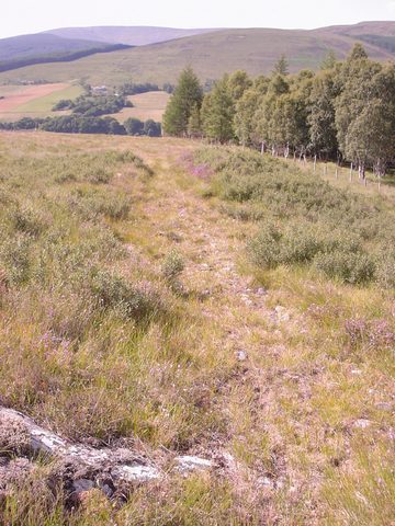
The path is best started from Achluachrach where there is a car park. Skirt around the hill, Moine Bohenie, to the west and then climb till you get on to the plateau. The path should be evident and there are two fences, both with gates. The path...
