Bohenie Coffin Road Show path on map
Start location: Bohenie ( NN 294 829 )
End location: Achluachrach ( NN 307 812 )
Geographical area: Lochaber
Path type: Coffin Road
Path distance: 2.4km
Accessibility info: Suitable for pedestrians
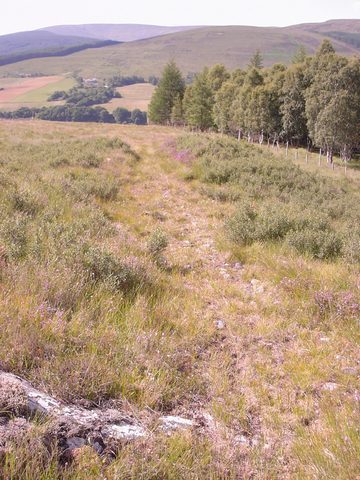
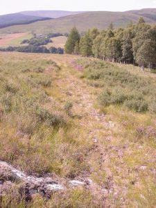
Route Description
The path is best started from Achluachrach where there is a car park. Skirt around the hill, Moine Bohenie, to the west and then climb till you get on to the plateau. The path should be evident and there are two fences, both with gates. The path continues to the corner of a plantation and goes directly downhill along the side of the plantation to Bohenie.
OS Landranger 34 (Fort Augustus and Glen Albyn area) or 41 (Ben Nevis, Fort William & surrounding area)
Heritage Information
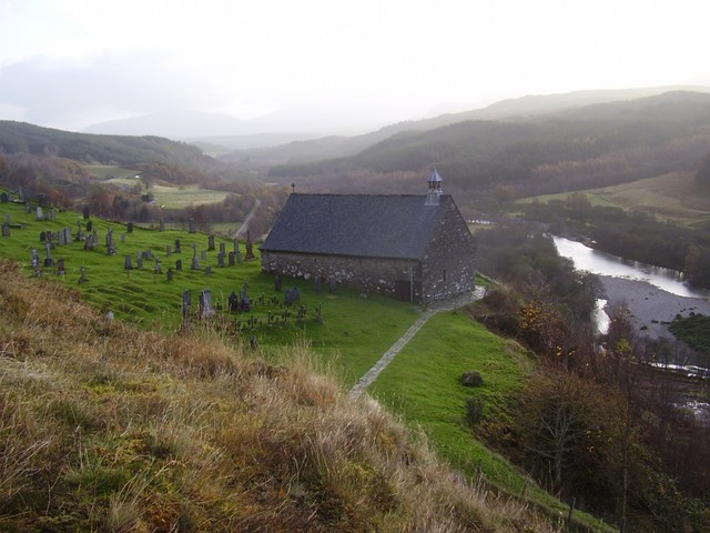
This path was certainly used as a coffin road for the inhabitants of Bohenie and all the other townships in Glen Roy. The path would essentially have started from where ever someone died and from there people would have processed carrying the body along this path to the consecrated ground at Bohenie where it would have been buried.
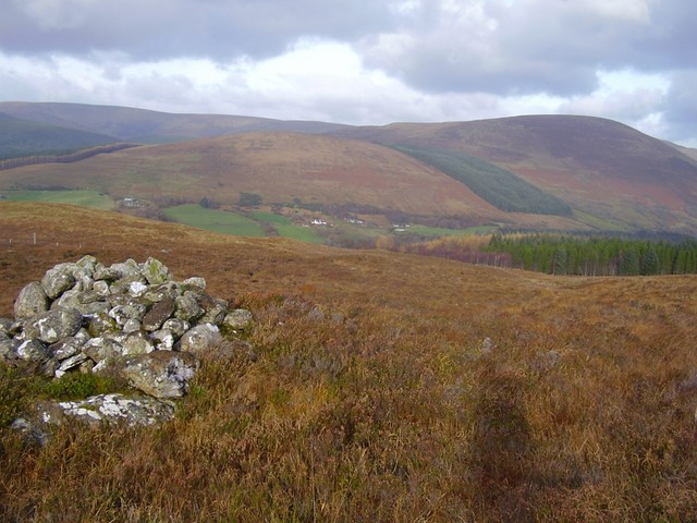
Interestingly there are three coffin cairns along the route. These coffin cairns were marked in the first edition of Ordnance Survey's 6 inch to the mile maps and were used sometimes to rest the coffin on while the carries were changed, sometimes they were created by people leaving a stone as a mark of respect for the person they were carrying but they were likely used most often to have a rest and a dram. The most northerly cairn on this path is right at the edge of the plateau and so was probably also used to aid navigation because without it, it could be tricky to stay on the path, particularly if there was a lot of snow.