Windylaw Path Show path on map
Start location: foreshore at Limekilns, west of Rosyth Church ( NT 084 829 )
End location: A985, at track on west side of Brucehaven Farm ( NT 090 835 )
Geographical area: Fife
Path type: Coffin Road
Path distance: 1km
Accessibility info: Suitable for pedestrians
Route Description
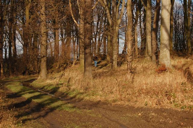
From the east end of the foreshore at Limekilns, a tarred footpath leads directly uphill and inland, up the side of an area of new houses. At the north-east corner of the houses, a mown grassy strip leads diagonally uphill and north, now between fields, and eventually curving to the right (east) towards a wood on the crest of the hill. The path splits in the wood, no one line being more prominent than the others, but the right of way leaves the wood at its north-east corner. A tractor track leads to the cluster of houses at Brucehaven Farm, along their west side and out to the public road.
OS Landranger 65 (Falkirk & West Lothian)
Heritage Information
This path is thought to have been used as a coffin road - it would certainly make sense as the most direct route to Rosyth Old Kirk. People would have used it to take their dead, possibly from as far away as Dunfermline and Crossford. It is fortunate that the church is at the bottom of the hill as people would have carried the heavy coffin down the very steep hill and then been empty handed on the way back up.
Some of the little that remains of Rosyth Old Kirk dates to the thirteenth century. It is said to have been dedicated to St John, and although worship at the church ceased in the mid 1600s, RCAHMS reports that the burial ground continued in use until at least the 1970s. The graveyard's nineteenth century mort house also evidences this continued use as these were built to prevent corpses being taken by body-snatchers.