Old Road to Wolfhill Show path on map
Start location: Kingswell ( NO 162 317 )
End location: Newlands ( NO 157 329 )
Geographical area: Perth, Kinross and Stirling (part)
Path type: Rural Path
Path distance: 1.5km
Accessibility info: Suitable for pedestrians
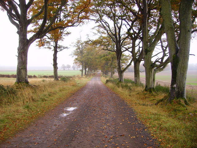
Route Description
This old path starts just south of Kingswell and runs north east to the corner of a plantation before turning directly north and entering Wolfhill from the south. The original track was a lot straighter between St Martins and Wolfhill but it seems that the south part has been lost and the diversion starts just south of Kingswell.
OS Landranger 53 (Blairgowrie & Forest of Alyth)
Heritage Information
This is thought to be an old road linking Wolfhill to the old road that ran through St Martins. In fact, local tradition has it that it dates back to the Roman period, but sadly there is no evidence for this.