Bealach a’ Mhàim Shieling Path Show path on map
Start location: Sligachan ( NG 485 298 )
End location: OATS car park, Glen Brittle ( NG 424 258 )
Geographical area: Skye and Lochalsh
Path type: Rural Path
Path distance: 7.2km
Accessibility info: Suitable for pedestrians, Survey required
Route Description
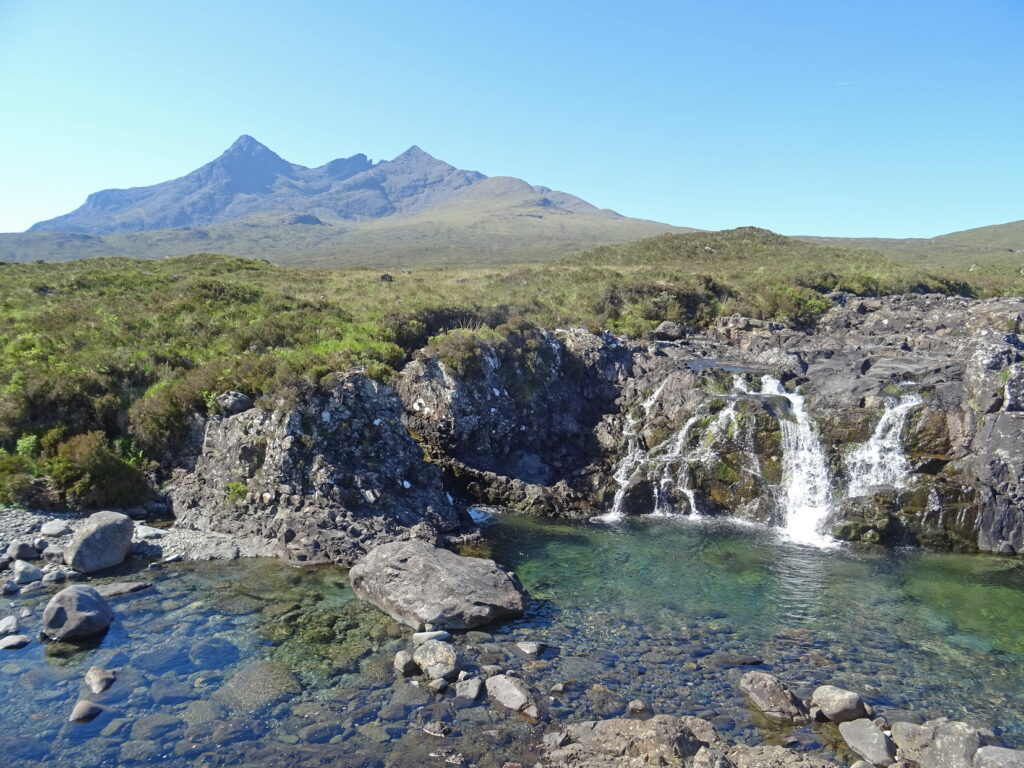
From the Sligachan Hotel follow the A863 towards Drynoch for 700m, then go southwest along the private road to Alltdearg House. Continue behind the house and up the path on the northwest bank of the Allt Dearg Mor to the Bealach a’ Mhàim. Go down the path on the north side of the Allt a’ Mhàim and alongside the forest fence to reach the road in Glen Brittle. However, shortly before the road, the river crossing at NG425259 may be difficult in spate conditions – an alternative is to head south across rough ground for 200m to reach the Fairy Pools path which bridges it, then head west along this path to the road.
Southwards along the road, destinations include the Glenbrittle Youth Hostel, the Glen Brittle Memorial Hut or the camp site beside the beach. For a longer adventure, this route can be combined with another shieling path through the Cuillin, from Sligachan to Elgol.
OS Landranger 32 (South Skye)
Heritage Information
This path is marked in the 1st edition OS 6 inch to the mile map, which was surveyed in the mid 19th century, but it doesn't look as if there were very many people living along the route at that time. The National Record of the Historic Environment (NRHE) shows a number of hut circles and shieling huts on the route, but apart from Sligachan and in Glen Brittle, there are no settlements or townships on the track. The path was perhaps used by residents of these townships visiting their shieling sites annually, and also by people visiting the townships for trade or communication purposes.