Coffin Road, Bealach na Sreine Show path on map
Start location: East of Little Eachaig Bridge at the Glen Kin roadend, B836 ( NS 133 814 )
End location: Stronyarig roadend, Glenstriven road ( NS 090 750 )
Geographical area:
Path type: Coffin Road
Path distance: 8km
Accessibility info: Suitable for pedestrians
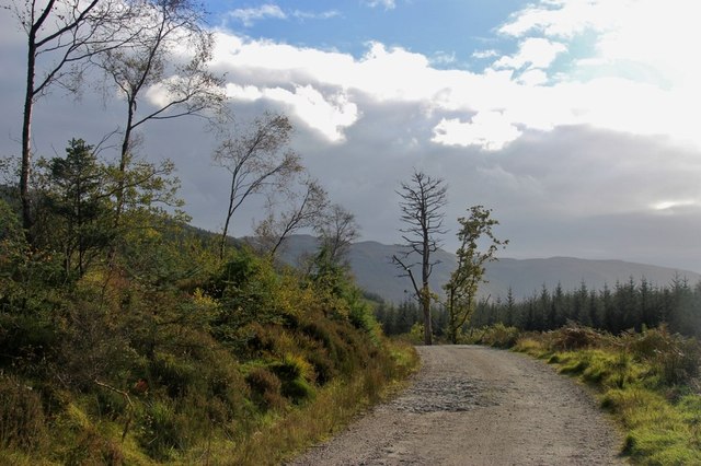
Route Description
Where the B836 crosses the Little Eachaig River at the foot of Glen Kin, a track leads up the east side of the Glenkin Burn to Stronsaul where there is a crosssing point. The track continues to a picnic shelter at NS121782, meeting the modern track which approached high on the west side of Glen Kin. This latter route is an alternative way to reach this point. Opposite the shelter, follow a path southwest uphill to emerge at a stile onto the steep grassy hillside. Climb beside the forest to its upper edge and continue southwest along a fence to the flat Bealach na Sreine, where three fences meet. Descend west down quite steep grassy slopes to cross the burn in the Inverchaolain Glen, and go along a path high above the burn on its west side to a small lochan, from where a track leads down to the narrow public road beside Loch Striven.
OS Landranger 63 and 56
Heritage Information
This old route has the reputation of having been a coffin road. The current church at Inverchaolain is said to have replaced an 1812 church which burnt down in 1911, but is reportedly the fourth at this site. A Kirk is marked on Roy's mapping of 1747-52. However, it is also claimed that after the Reformation in the sixteenth century, the coffins of Epicopalians travelled in the opposite direction over Bealach na Sreine, towards Kilmun.
Many coffin roads had cairns to rest the coffins - a small cairn at the top of the cimb from Inverchaolain Glen is thought to have been one such rest. The Heritage Paths project would very much welcome more detail about the use of this coffin road.