Salachary to Ford Drove Road Show path on map
Start location: Salachary ( NM 851 041 )
End location: Ford ( NM 868 035 )
Geographical area: Argyll and Bute
Path type: Drove Road
Path distance: 2.25km
Accessibility info: Suitable for pedestrians, Survey required
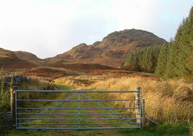
Route Description
Heritage Information
A droving route ran from the Isle of Jura via Craignish and Kilneuair to Loch Fyne. Haldane's The Drove Roads of Scotland reports that even in 1843, 3000 sheep and 1000 cattle were being ferried from Jura to Craignish heading for the trysts. The drove road from Salachary links the head of Loch Craignish to Ford at the near end of Loch Awe, enabling the droves to then travel over the Leckan Muir. This route is clearly shown as a key part of the road network in Arrowsmith's 1807 map.
The village of Ford's former name was the Gaelic Ath nan Cnoc - ford of the hazels. The original ford has long since been replaced by a bridge, but the persistence of the name points to the importance of the settlement's location. Although James Dorret's map of 1750 doesn't mark roads it clearly depicts Ford's river crossing, whilst Roy's survey (1747-52) shows the whole route and Ford appears to be a settlement of significance. Ford once had a drover's inn, the change-house, also known as the Crown House (now a B&B) - this particular Ford Inn predated 1864's Ford Hotel.
Even once the droving trade had ceased, the route remained in use. Schoolchildren from Salachary used to walk the old drove road to get to school in Ford.