Mount Keen Show path on map
Start location: B976, Bridge of Muick ( NO 366 947 )
End location: unclassified road end, Glen Esk ( NO 444 804 )
Geographical area: Cairngorms National Park
Path type: Drove Road
Path distance: 21km
Accessibility info: Suitable for pedestrians
Route Description
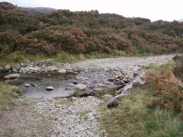
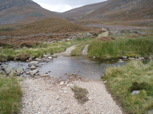
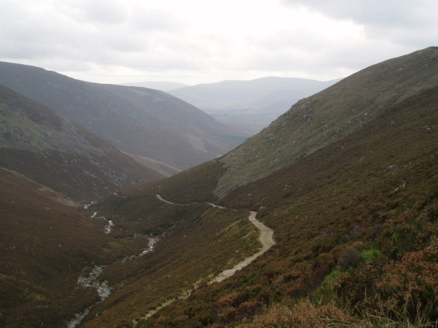
Bridge of Muick is 1km southwest of Ballater along the B976. From the south end of the bridge, strike uphill south-southwest by a narrow road to Balintober, and continue by a track which climbs south then southeast round the western side of Craig Vallich to a dip on its south side. Descend a short distance northeast along the track, then go east by an indistinct path across the headwaters of the Pollagach Burn to a gate in the fence, at 600m, on the ridge opposite. Beyond here, the track descends first southeast then south to a footbridge (NO406895) over the Water of Tanar. The track then climbs south up the north ridge of Mount Keen (939m) and reaches 760m on its west side (an alternative path goes over the summit).
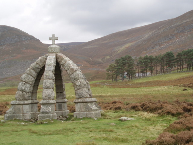
Continue south, and in 1km the track begins to drop steeply by the Ladder Burn to the cottage of Glenmark, beyond which is the Queen’s Well. The track continues down the east bank of the Water of Mark to the end of the public road at Invermark, 5km from Tarfside.
The footbridge over the Water of Tanar can also be reached from the Firmounth (NO479958; total route 23km) near Glen Tanar House, and from Tombae on the B976 (NO433965).
OS Landranger 44 (Ballater & Glen Clova)
Heritage Information
The old drove road which follows the Water of Tanar from Glen Tanar House was declared a public right of way for all traffic except vehicles by the Court of Session in 1931.
It is recorded that in July 1618, an early English traveller in Scotland, John Taylor, King James' "Water Poet", with some difficulty found his way by this road to the Braes of Mar: "Up and downe, I thinke this hill is six miles, the way so uneven, stony, and full of bogges, quagmires, and long heath, that a dogge with three legs will out-runne a horse with foure, for we were four hours before we could passe it."
Queen Victoria and Prince Albert crossed by Mount Keen in 1861. A well commemorates the spot where they rested after riding from Deeside, and it bears the following couplet: "Rest, Traveller, on this lonely green, and drink, and pray for Scotland's Queen".
The Heritage Paths project is pleased to announce that Neil Ramsay (our former Project Officer) and Nate Pedersen (one of our earliest volunteers) have teamed up to write an ebook - The Mounth Passes - with photography by long-standing ScotWays member Graham Marr. If you too are interested in the heritage of these old ways through the Grampian Mountains, we highly recommend it.