Dalmally to Inverarnan Drove Road Show path on map
Start location: A85, Corryghoil, Strath Orchy ( NN 193 275 )
End location: Glen Falloch ( NN 319 197 )
Geographical area: Argyll and Bute, Stirling, Clackmannan and Falkirk
Path type: Drove Road
Path distance: 18.1km
Accessibility info: Suitable for pedestrians
Route Description
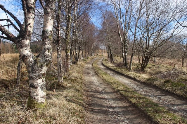
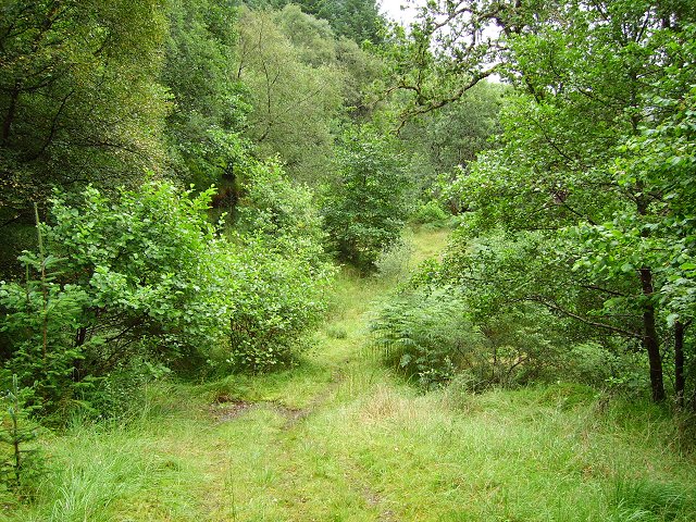
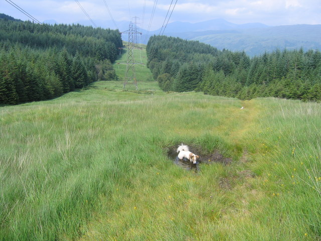
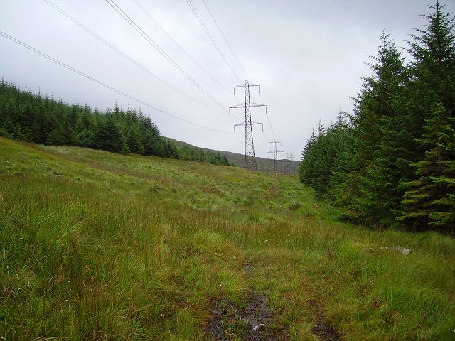
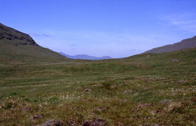
Corryghoil lies 3km east of Dalmally, on the A85. From there go southeast along the private road to Succoth Lodge, and follow the old track southeast along the north side of the Eas a’ Ghaill to the pylon line. Head uphill along the track under the pylons, through the native woodland of the Ben Lui Nature Reserve to a gate at its edge. Continuing up the Allt a’ Chaorainn, cross the pass (470m) between Beinn a’ Chleibh and Meall nan Tighearn, then follow the Allt a’ Mhinn downstream, with the pylons in sight on the left, to reach a track at NN260224. Follow this generally east-southeast on the south side of Gleann nan Caorann to reach the A82 at Glen Falloch farm, just over 1km from Inverarnan.
OS Landranger 50 (Glen Orchy & Glen Etive)
Heritage Information
This route follows an important old drove road from Dalmally to Inverarnan, which continued onwards to The Trossachs and the Trysts of central Scotland. ARB Haldane's The Drove Roads of Scotland only mentions this route in passing, but he does describes Mull cattle making for Crieff via Dalmally. It would seem likely that as the Crieff Tryst declined in favour, that this is a natural route to have taken instead, leading as it does towards the top of Loch Lomond and thence various routes towards Falkirk.
The bridge at Dalmally is reputed to have been built for cattle drovers, but it lies on the military road from Bonawe via Stronmilchan to Dalmally. The bridge was completed in 1780 by the same contractor who built Bridge of Awe. However drovers are likely to have found the bridge and arched embankment to the south very useful in crossing to the south side of the Strath of Orchy. At Inverarnan is the famous drovers’ inn of the 18th and 19th centuries and a favoured hostelry (as the White House) of climbers in the pre-war era.
The country this old route passes through feels remote, even though electricity pylons coincide with some of it and hydro-electricity structures such as intakes and conduits lie alongside. Pre-dating these, there are the remains of shielings such as those at Airigh a' Chaorainn and sheepfolds. Although empty of people now, there's a long human history here.