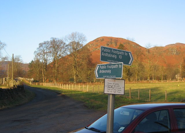
Ardeonaig to Comrie Drove Road Show path on map
Start location: Loch Tay at Ardeonaig ( NN 666 362 )
End location: just south of Coishavachan ( NN 743 273 )
Geographical area: Perth, Kinross and Stirling (part)
Path type: Drove Road
Path distance: 14.5km
Accessibility info: Suitable for pedestrians
Route Description
Our route description runs from south to north. Starting from Comrie adds an additional 7km to the route, or there is a parking area (NN742273) near Coishavachan which can be busy.
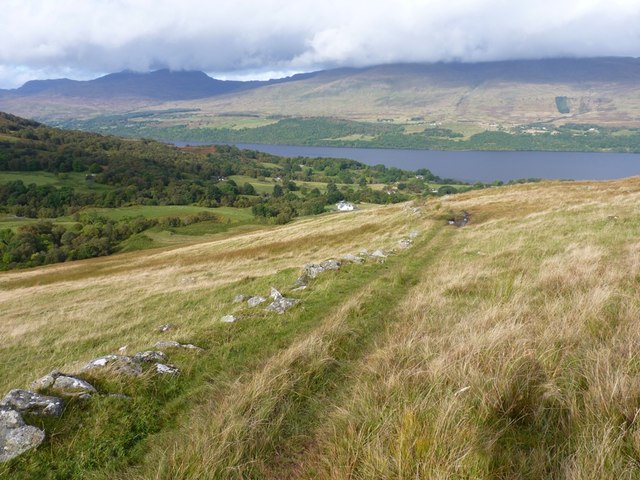
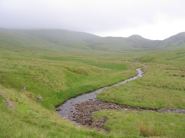
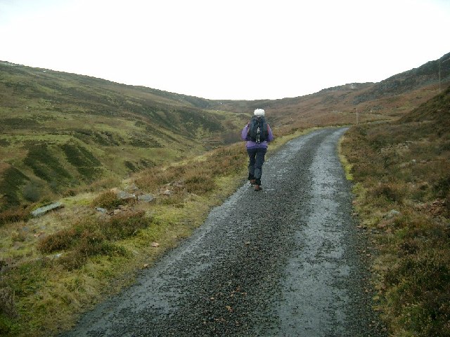
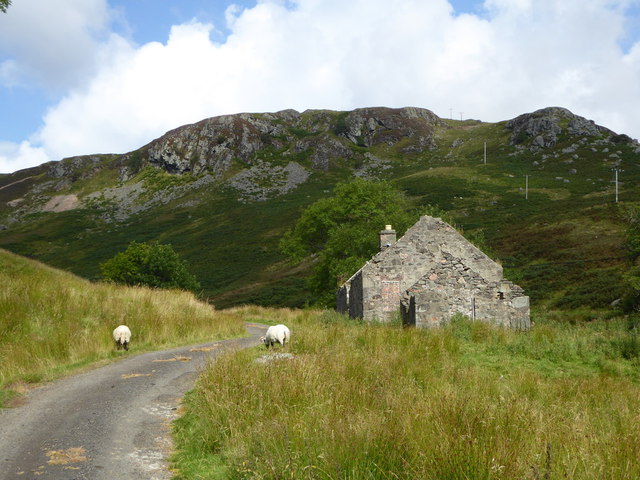
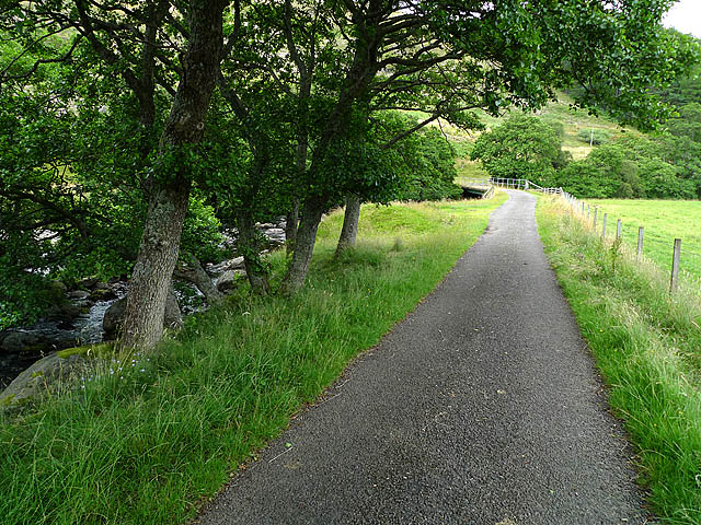
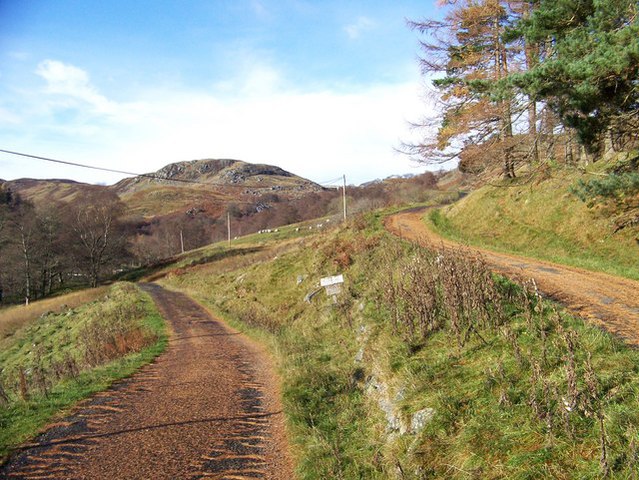
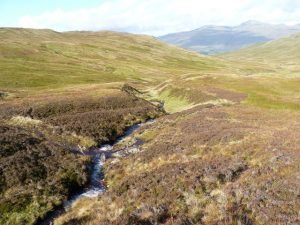
A quiet public road runs from Comrie up Glen Lednock. Just before Coishavachan at NN742272, take the left fork northwest which after 1km crosses the bridge over the River Lednock (NN732279). Continue by the hydro road to the south of the reservoir to its end, then go around its head, dropping down to cross the river by some shielings. Climb northeast up grassy rough slopes for almost 0.5km to reach the old indistinct track which climbs north-northwest up the hillside. Careful route-finding is necessary as there are many sheep tracks over the southwest shoulder of Creag Uchdag, and the bealach aimed for between Ruadh Mheall and Creag Uchdag is rather featureless. Beyond the bealach, go north-northwest down the grassy glen, following a rough ATV track, to the site of old shielings at the head of the Finglen Burn. Below here, a path leads down the right bank of the burn to Ardeonaig.
OS Landranger 51 (Loch Tay & Glen Dochart)
Heritage Information
According to ARB Haldane's 1962 book New Ways Through The Glens, in 1807 Lord Breadalbane and others proposed a road from Ardeonaig to Comrie in order to improve communication and to effect Improvement. It was stated that there existed only "unformed Tracks, and accessible only to Horses or the lightest Country Carts with very small loads". By 1811 Thomas Telford refers to it as the "new Road through Glen Lednaig" in the Fifth report of the Commissioners for Highland Roads and Bridges, but despite his approval, the new road was never constructed. However, the route was already established as a link between Loch Tay and Comrie, for Haldane's earlier book The Drove Roads Of Scotland (1951) indicates that the route was well used for cattle droving in the eighteenth and early nineteenth centuries.
Loch Lednock is a reservoir, built as part of the Breadalbane Hydroelectric Power Scheme to provide storage for the St Fillans power station. The OS 1" 7th series map (surveyed 1954-61) shows the dam under construction - carefully designed to cope with earthquakes because of its proximity to the Highland Boundary Fault. The resultant flooding of the glen submerged the original line of the drove road, hence use of the newer tarred road on the south side of the reservoir to regain access to the older route beyond its head.
In March 2021, this old drove road featured in BBC Scotland's Grand Tours of Scotland's Lochs with presenter Paul Murton trekking along it on horseback with ScotWays' then Field Officer, Karen Inkster. The programme also included a guest appearance from the former Callander & Oban Railway along with stories of Rob Roy. It's well worth a watch, so keep an eye out for repeats.