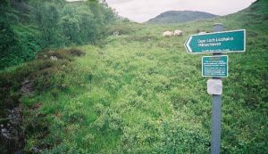
Ciaran Path Show path on map
Start location: Loch Treig ( NN 320 687 )
End location: Kinlochleven ( NN 192 621 )
Geographical area: Lochaber
Path type: Drove Road, Rural Path
Path distance: 18km
Accessibility info: Suitable for pedestrians
Route Description
The start point at the south end of Loch Treig can reached from Corrour Station by going northwest for 5km along the path and track beside the railway.
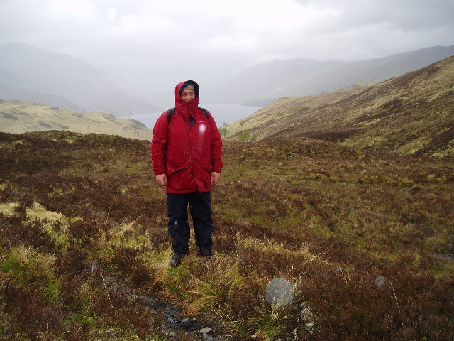
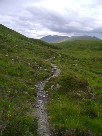
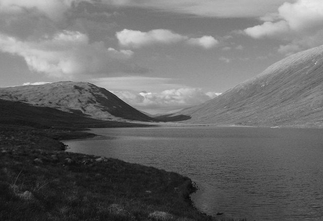
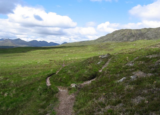
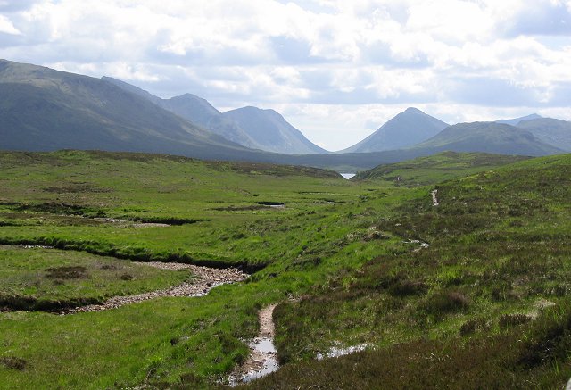
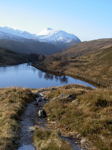
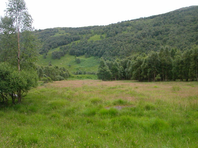
From Loch Treig, head southwest up Gleann Iolairean, following the path up the Allt Feith Chiarain, which is the line of the old drove road from Spean Bridge to Kingshouse Inn. Pass Loch Chiarain and continue southwest across a level watershed along a path which goes on the northwest side of the Allt an Ruadha Dheirg and the Allt an Inbhir to reach the Blackwater Reservoir, 1km east of the dam. Finally, follow the path along the north side of the River Leven down a very attractive wooded glen to reach Kinlochleven.
OS Landranger 41 (Ben Nevis, Fort William & surrounding area)
Heritage Information
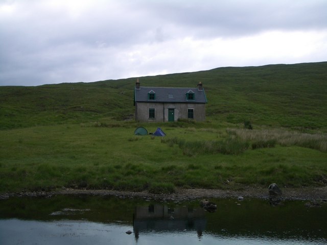
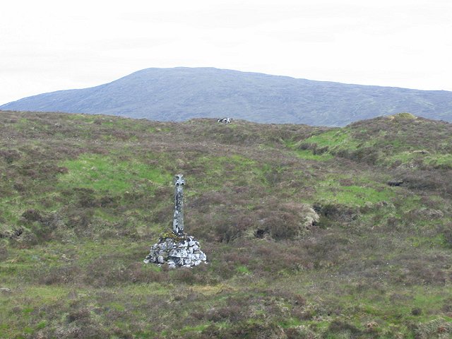
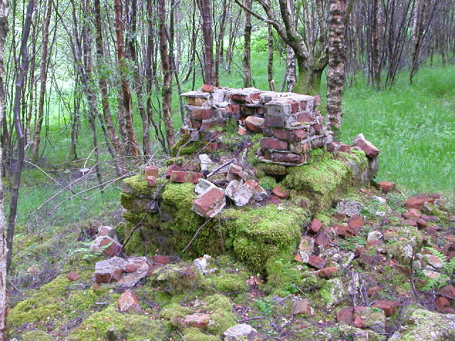
The Ciaran Path is so-called because it once ran from Kinlochleven to Ciaran (NN283605). This lost change house and drove stance lay between Lochan Inbhir and Lochan-na-Salach Uidhre, but its site is now submerged in the combined waters of the Blackwater Reservoir.
The drove road from Spean Bridge came through the Lairig Leacach to reach Loch Treig. From there the drovers, used this route to head up Gleann Iolairean, but then travelled down the Ciaran Water to Ciaran. From its stance, a drove road ran east to meet the Road to the Isles near the ford over the Allt Eigheach; another route headed south by Allt nam Fuarean to meet the track across Rannoch Moor using it to reach Kingshouse in Glencoe.
The Ciaran Path also has a more recent history. Starting from Kinlochmore, this was the route to a First World War POW camp 2km from the village.