Balmerino Abbey Quarry Road Show path on map
Start location: railwayline by Seggiehill ( NO 433 191 )
End location: unclaimed road near Balmerino Abbey ( NO 363 247 )
Geographical area: Fife
Path type: Industrial Path
Path distance: 10.2km
Accessibility info: Suitable for pedestrians
Route Description
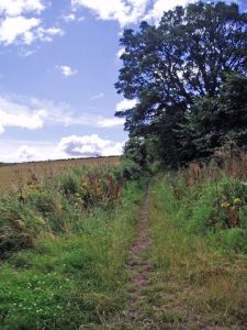
From Balmerino Church a good but unsurfaced road goes down to the edge of the wood, past a bungalow on the left. It then turns sharply left along behind the bungalows on the West side of the track, through a stretch of woodland (a path now rather than a track) and across a wooden bridge into a cultivated field. Through both this field and the next one there is a clear way, which emerges on to the minor road. Then follow the minor road to the east for about half a kilometre and at the south end of Quality St. go along to the south end of Kilmany Road and from there a broad track leads along the west edge of Dandie's Wood before entering the east edge of Shambleton Wood for a short distance. You then come out through a field gate to follow the west edge of a field to another gate at 387 227. From there the track leads down a deep lane to the A914.
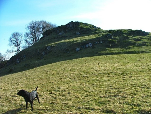
The old road then goes to the south west following the current road network for a couple of kilometres before going off road again at Ardlogie House. The path continues for around 100m on the right before turning left at the fence on the south side of Set Hill. The way in is not easy to negotiate – it was necessary to clamber through a narrow space. You then follow the field edge until you pass through a broken field gate and then continue on the north side of the next stretch of field boundary.
At the field boundary before Hayston Farm there was a pair of roped hurdles, then a broad track which leads down to the main access road to Hayston Farm.
This survey was mainly undertaken in 1992 and so many features may well have changed, hopefully for the better.
OS Landranger 59 (St Andrews, Kirkcaldy & Glenrothes)
Heritage Information
The development of roads was significantly advanced in Medieval Scotland by the increased hegemony of the church. This road was probably in existence before 1200 but around this time it was appropiated and developed by the monks in Balmerino Abbey to facilitate the transport of stone from Nydie quarry for the improvement of the Abbey.
It subsequently appears in many old maps including Sharp, Greenwood and Fowler's map of 1828 and the first edition of Ordnance Survey's 6 inch to the mile series.
The road as we describe it is partially incorporated into the modern road network and ends at the junction with the railway. There is a path that continues down to Bruckley but the historic road seems to have veered further to the east to ford the Eden and continued to Nydie Quarry.
A very detailed article on the road can be found at the link below:
http://ads.ahds.ac.uk/catalogue/adsdata/PSAS_2002/pdf/vol_083/83_162_167.pdf