Hill Track to Barr Show path on map
Start location: B734, north of the Stinchar Bridge, Barr ( NX 273 942 )
End location: Girvan ( NX 186 965 )
Geographical area: Arran and Ayrshire
Path type: Rural Path
Path distance: 11km
Accessibility info: Suitable for pedestrians
Route Description
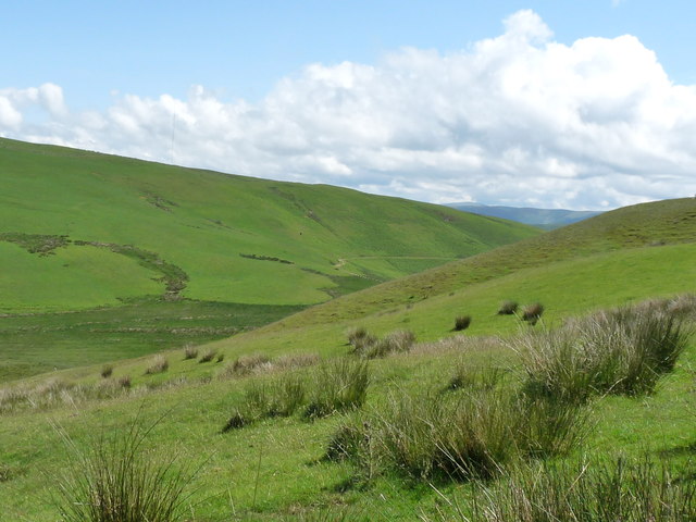
Leave Barr village on the B734 across the Stinchar Bridge and go north a short way to take the waymarked path west, passing south of Auchensoul Hill (314m). Head towards the southernmost wind turbine of the Hadyard Hill Windfarm, then drop gradually to the forested area north of Kirkland Hill with the obvious Tormitchell Quarry indicating the route ahead. The path is indistinct and heavy going in places due to deep grassland, dense forestry and choked forestry rides. Navigation with map and compass towards Dupin Farm is recommended although there are some waymarkers east of the farm. A track leads from Dupin past the quarry and continues to the public road at Tormitchell (NX230946). Follow the road north for 400m, then turn left at NX229950 through another quarry uphill on a good track to the substantial remains of Barbae. Keep left past the ruin, then go west at dilapidated gates through a forest ride on grassy trod, emerging onto a short moorland section at a gate and a waymarker. From here, follow the Assel Valley Windfarm track northwest until a waymarker at NX208954 indicates the way onwards west past Laggan Loch. The path becomes less obvious in places, and waymarking is erratic. The path eventually meets a good farm track at NX200958; this descends through a wooded area before crossing over the railway to reach the B7035 on the south edge of Girvan.
OS Landranger 76 (Girvan & surrounding area)
Heritage Information
The right of way following this old hill route has been promoted in Scottish Hill Tracks since its first edition in 1947. It is older than that though, as it can be seen in its entirety on OS mapping dating to the late nineteenth century, and its western half is clearly marked on the OS 6" first edition map, surveyed in 1856. Interestingly, the quarries which feature so prominently in the mid-section of this route have their origins in whinstone and limestone quarries shown on those mid-nineteenth century maps.