Old Rhynie Road Show path on map
Start location: Tullynessle ( NJ 558 196 )
End location: public road below Cairn More fort ( NJ 505 250 )
Geographical area: Grampian
Path type:
Path distance: 9.2km
Accessibility info: Suitable for pedestrians
Route Description
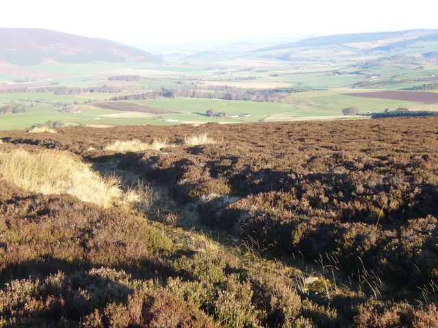
From Tullynessle, head west then northwest to Dubston farm. Take the left-hand farm track round the farm avoiding Terpesie Castle and the Waterworks. Continue west for about 1km, passing through gates to a fork in the track. Follow the right branch northwest leading to a ford across the Esset Burn. Follow the obvious track climbing northwest, passing the disused Correen Quarry. From there continue over the Correen Hills to the watershed (NJ509231). northeast of Badingair Hill. From here, the track descends through some sparsely wooded moorland and through two gates to pass the Cairnmore wind and solar farm, and then Cairn More (a ruined fort) on the left, meeting the public road approximately 3km from Rhynie.
OS Landranger 37 (Strathdon & Alford)
Heritage Information
This right of way linked the parishes of Forbes and Kearn which shared a minister. Services are said to have alternated between the churches of either parish, so each week the congregation of one of the parishes had to make a return journey over the hill. So, on Sundays at least, it will have been a busy route.